Another week, and I’ve been so busy, but am writing now more than before (finally). Will give a review of a restaurant (a changing one) that I’ve been to recently in Glasgow, but will start with a recent walking holiday, on the little known Cateran Trail, in Perthshire – Will be back as well!
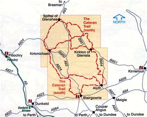
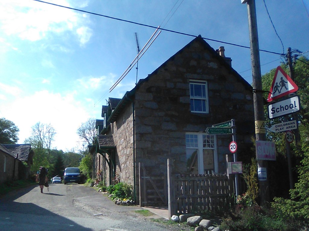
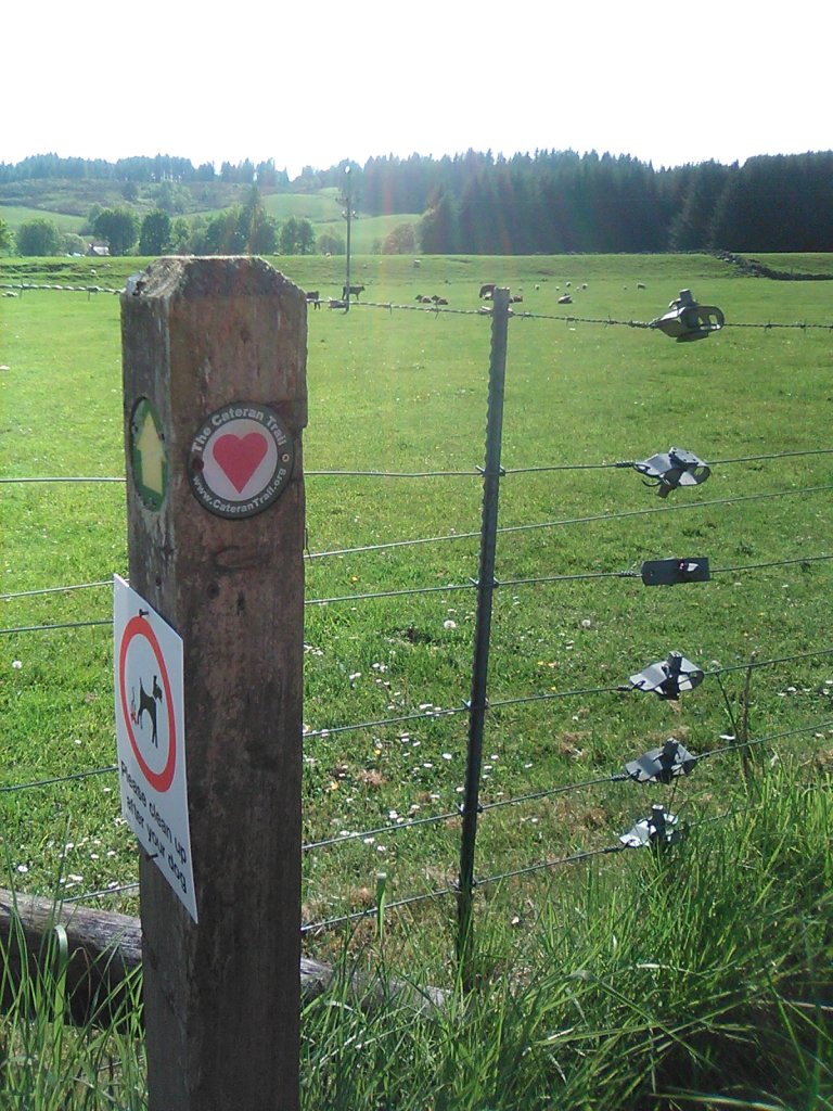
Had heard of this a few years past, when in Kirkmichael / Blairgowrie, and felt intrigued, as it was both circular, and remote – We needed to use a tent two nights.
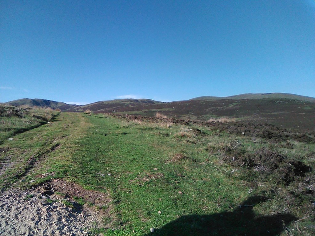
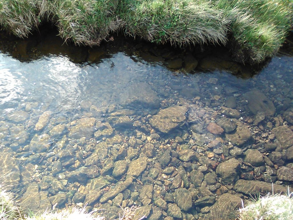
The first day, we travelled from Kirkmichael to just by the Lunch Hut (Used by none other than Queen Victoria a long time ago!) on the way to Spittal of Glenshee. Enjoy the fotos, it was actually quite warm, and the stream next to the tent site was beautiful to drink from.
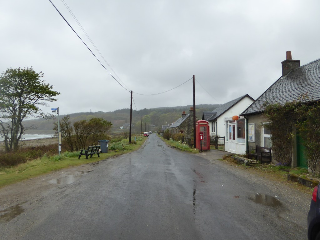
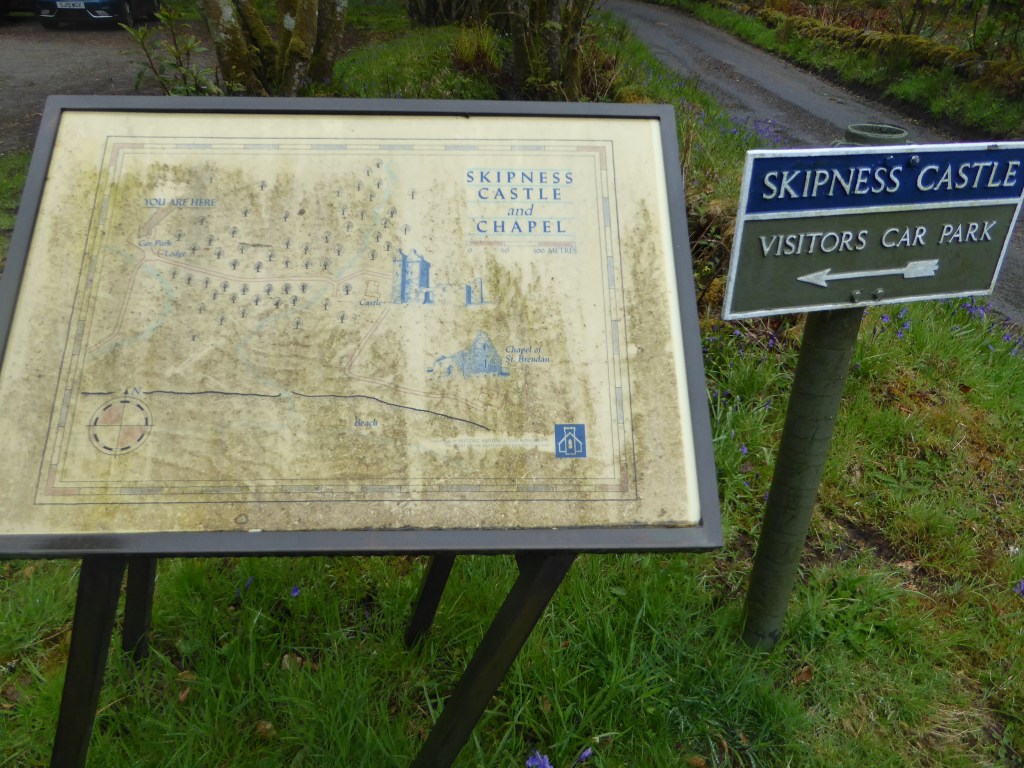
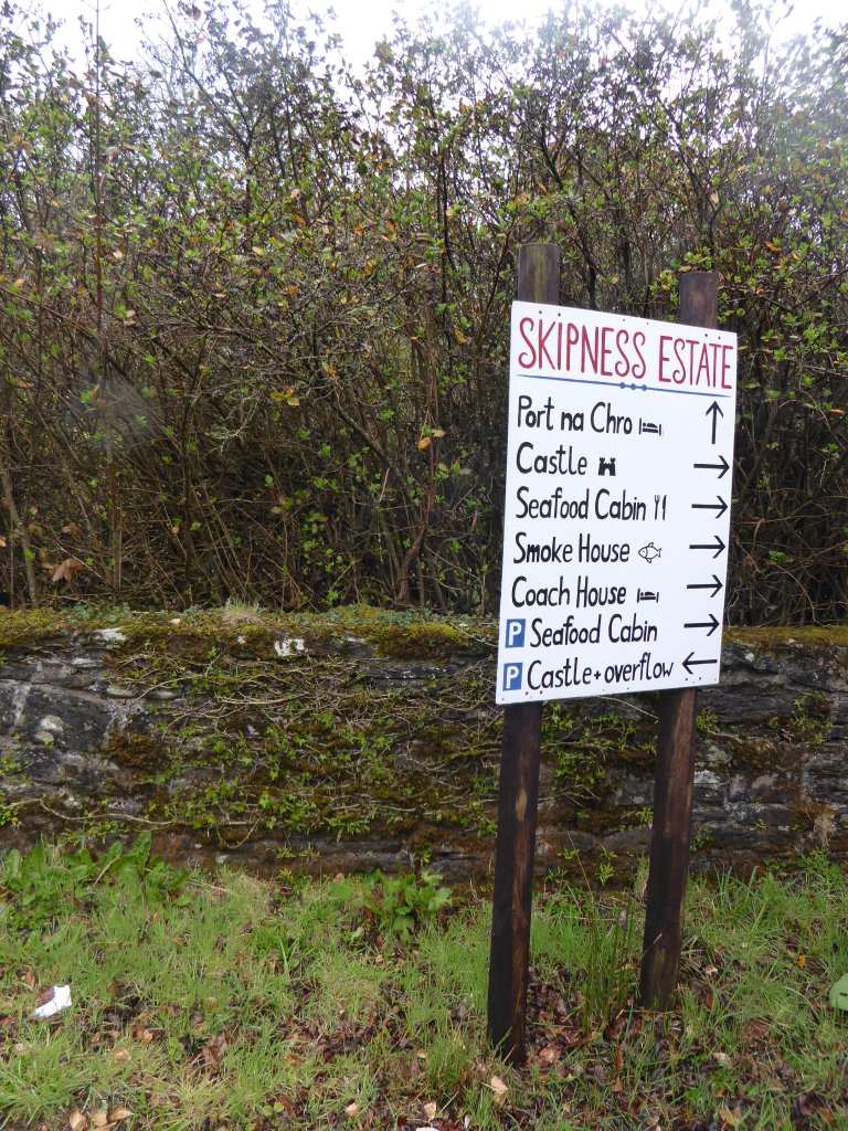
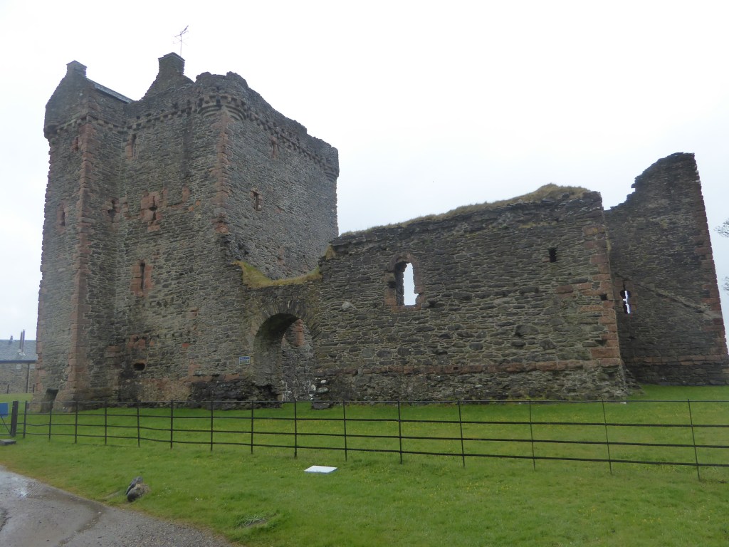
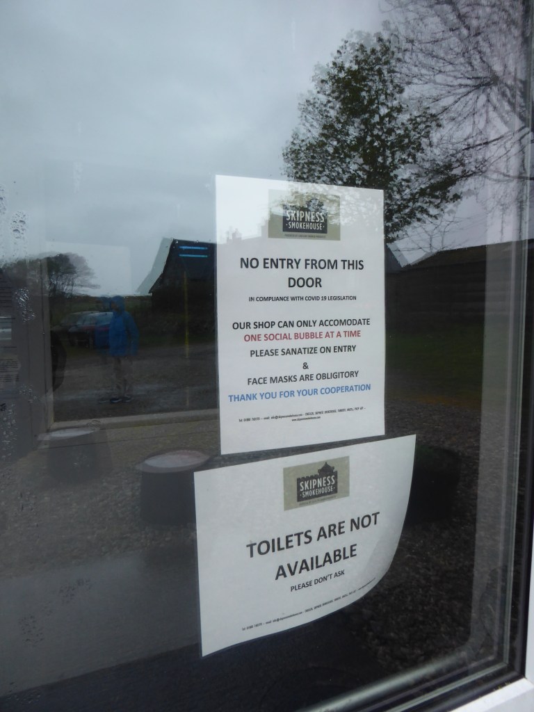
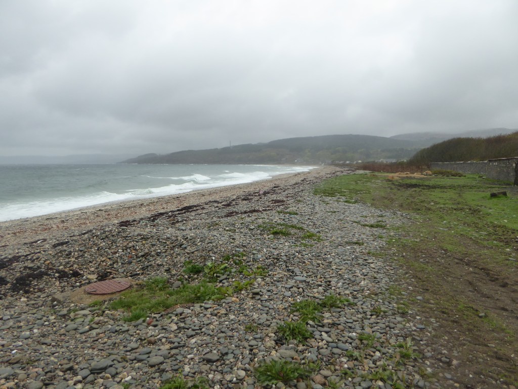
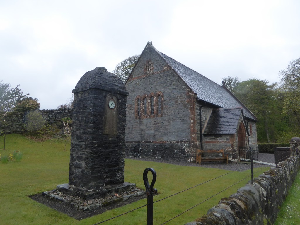
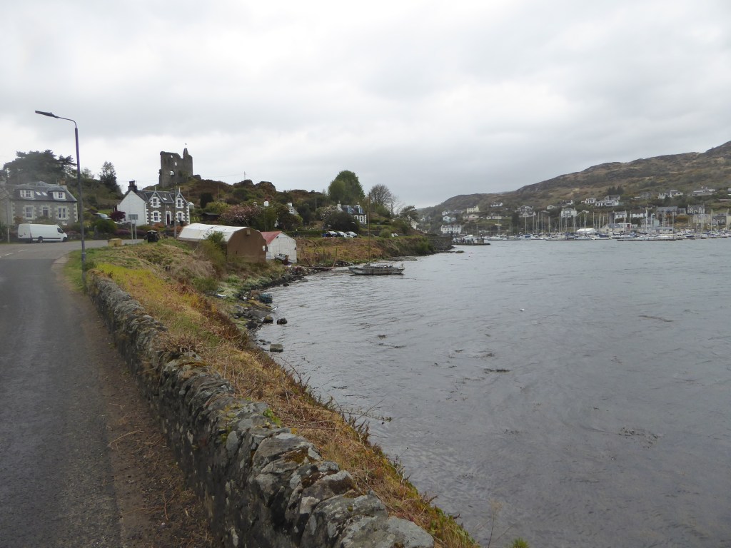
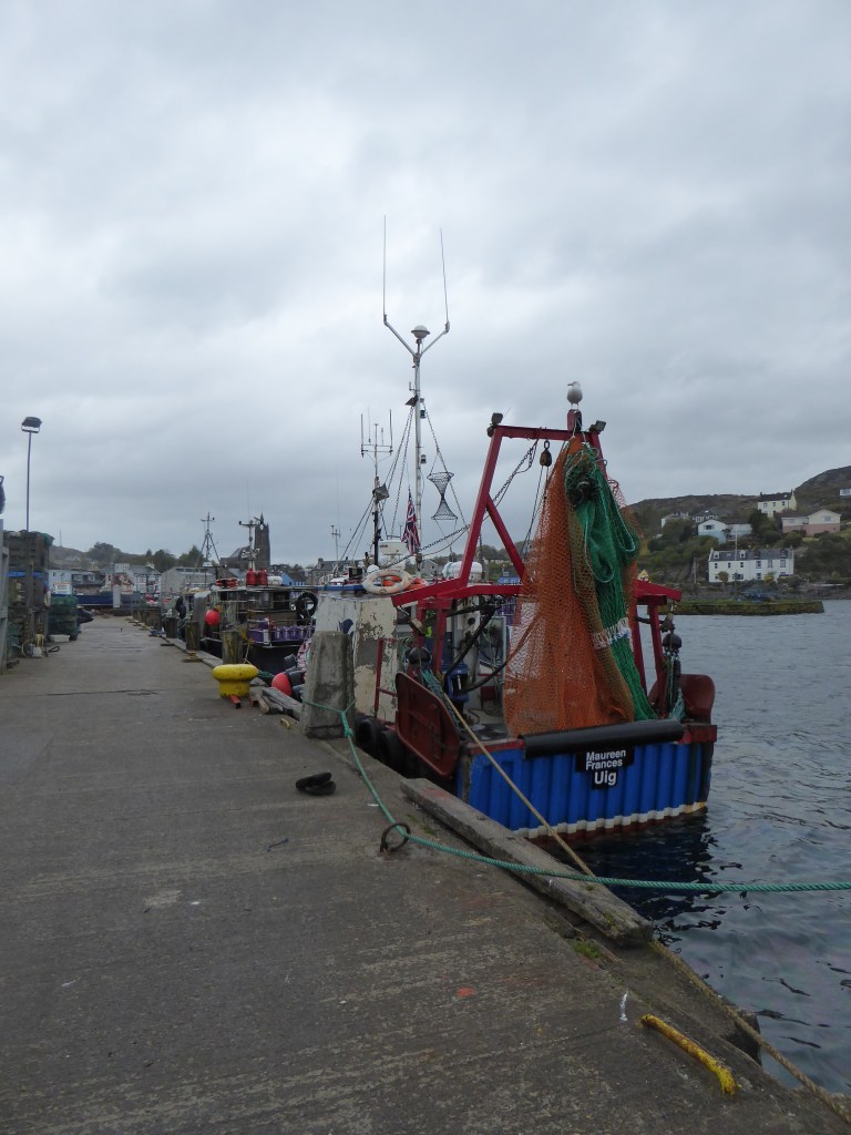
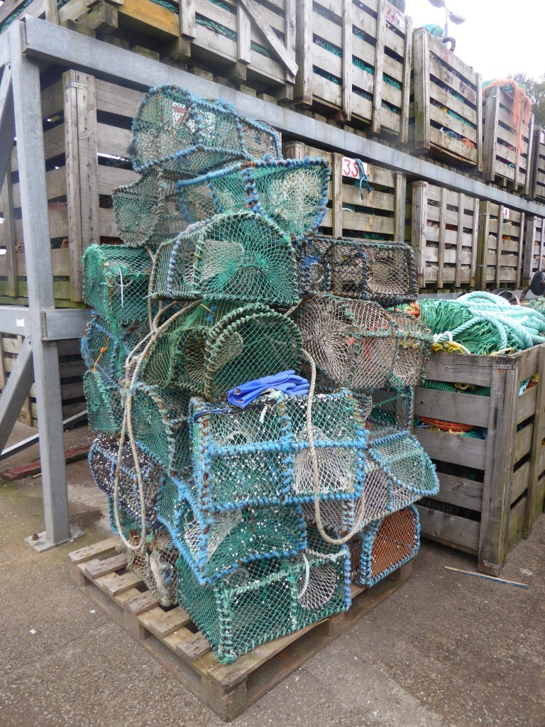
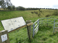
Continuing about our recent trip to the west of Scotland; after the visit to Tarbert, we went further south to a very small hamlet called Skipness, which is also reachable by bus from Tarbert. Whilst there is no pub, and even the Post Office / Village Shop is now unfortunately closed, we did manage a walk to Skipness Castle there, and went by Skipness Smokehouse (that was closed on the day).
We continued with a circular route that lead us back to Skipness, where I had a wonderful conversation with the warden(?) of the Church of Scotland there, at St Brendans. Afterwards, we returned to our accommodation for the night.
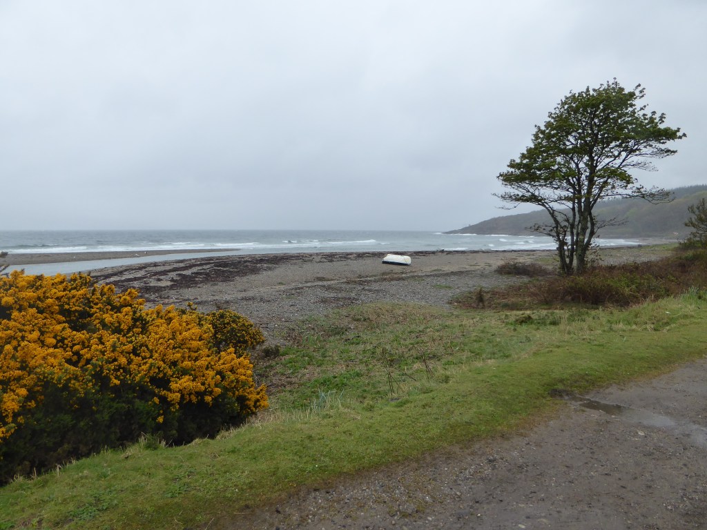
Beach Back to Skipness / St Brendans COS
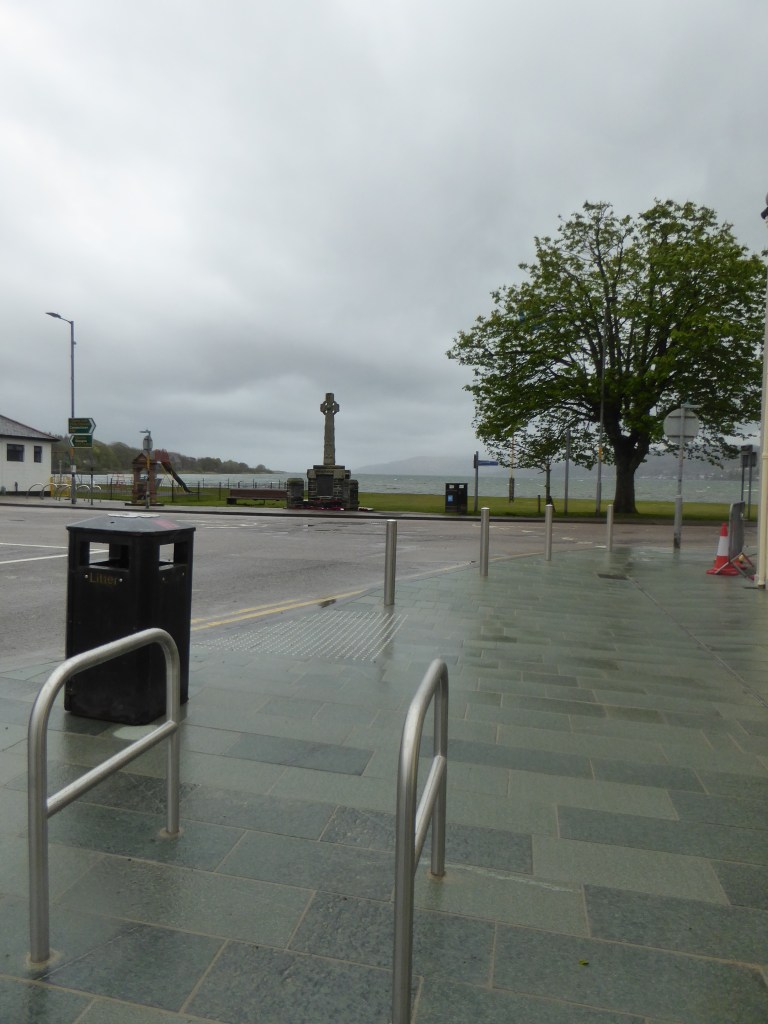
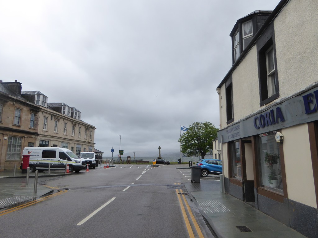
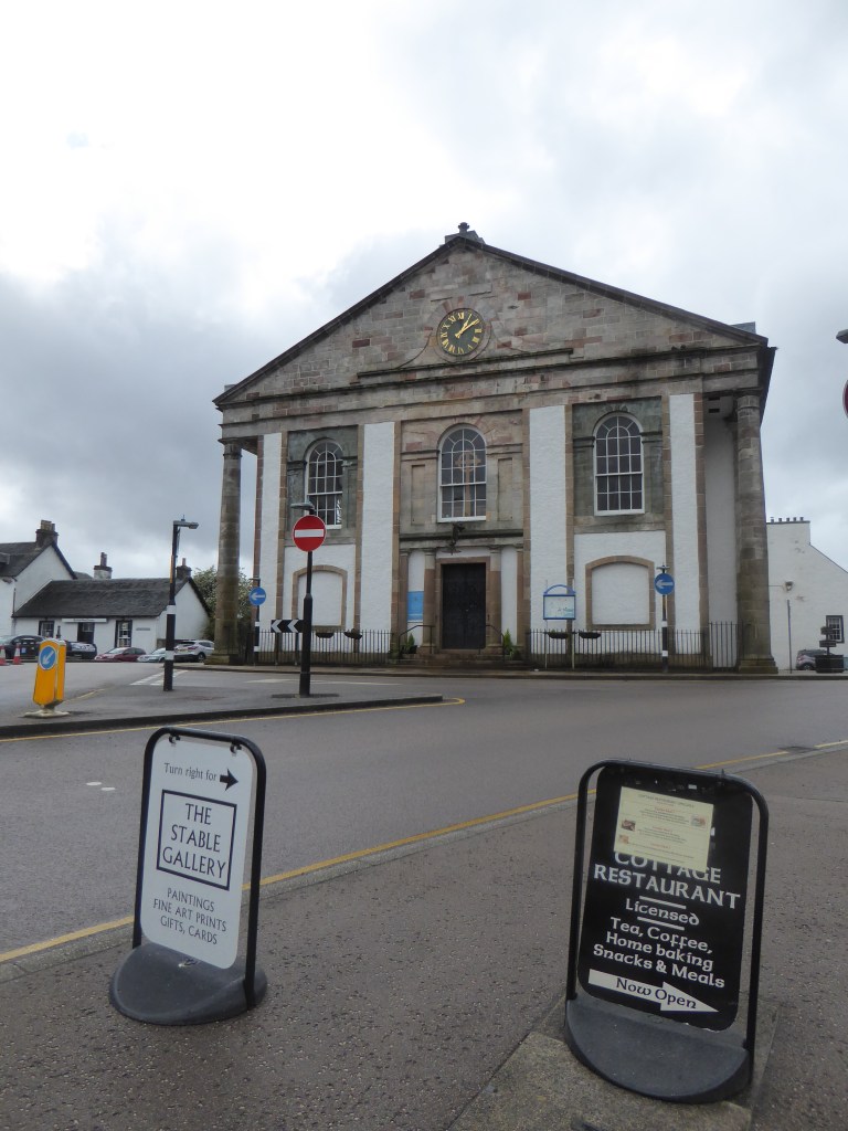
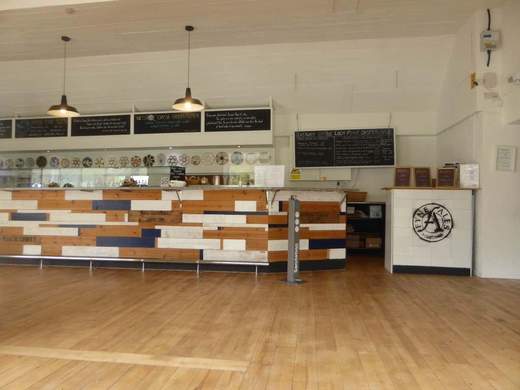
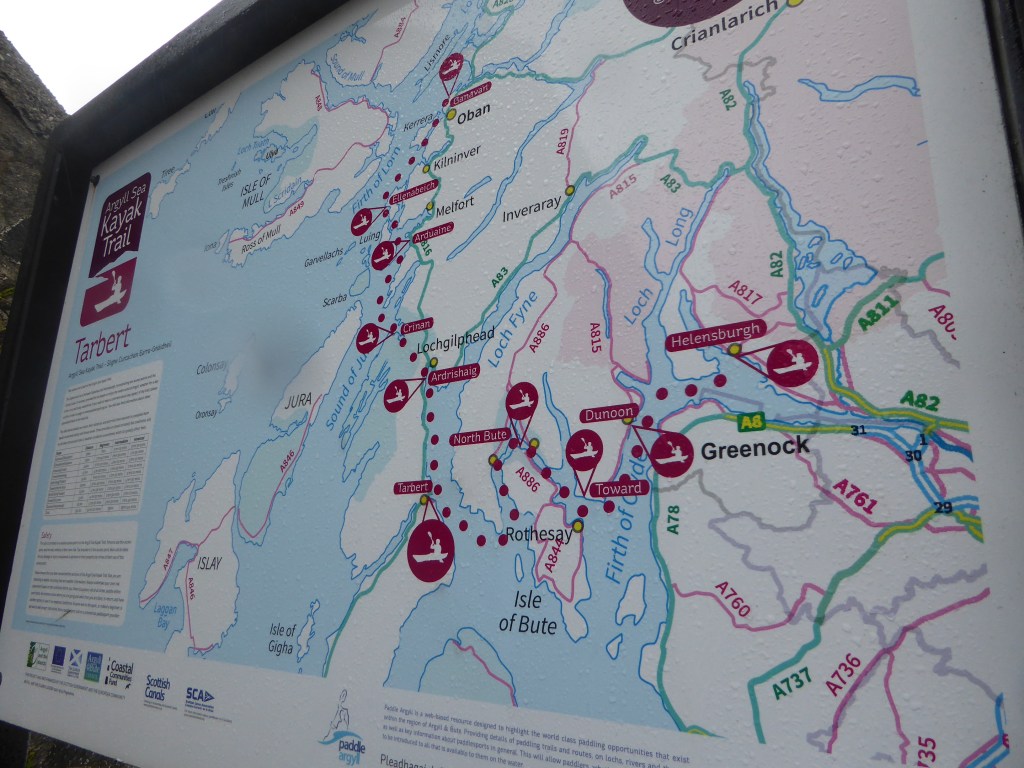
The next day, we meandered back the way we came to Glasgow, along the A83, where we stopped at both Lochgilphead and then Inveraray. The final stop was at the great, though now, quite posh Loch Fyne Oyster bar, for some of the best soup I’ve ever had.
Lochgilphead (1-3), Inveraray (4-6), Loch Fyne Oyster bar (7-8)
Early last year, I was in this region, and rather disgracefully, that was the first time that I’d ever been in this part of Scotland. Well, I’ve returned and can only say I’ll be back.
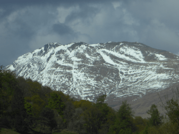
On the way up, we took the normal route to the west of Loch Lomond following the A82 and noticed, that the recent cold weather had brought more snow onto Ben Lomond.
A snow scattered Ben Lomond
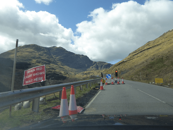
After Loch Lomond, we headed west on the A83 and stopped at Slanj Restaurant, located in an old church of some sorts? After a miniature fish and chips (recommended), continued on the A83 to the first point of interest, the area known as Rest and Be Thankful, worth a visit! An area that is notorious for rock & mud slides and that has had traffic controls on it for some time now.
Road block at “Rest and Be Thankful”
We got lucky and were first in the queue! With a lovely view of Beinn an Lochain.
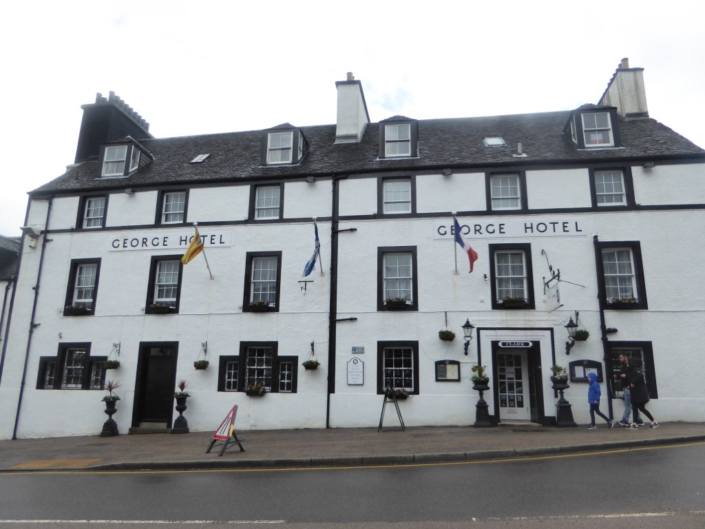
Later, we continued with the A83 and wound up in, after driving by the Loch Fyne brewery & restaurant, passing through Inveraray, and then Lochgilphead; our accommodation at Stonefield Castle, where we were staying fro the weekend. More about those first three places in Part 2.
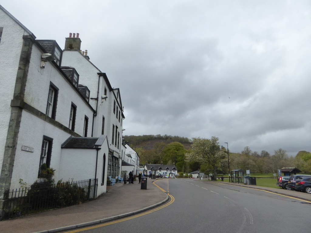
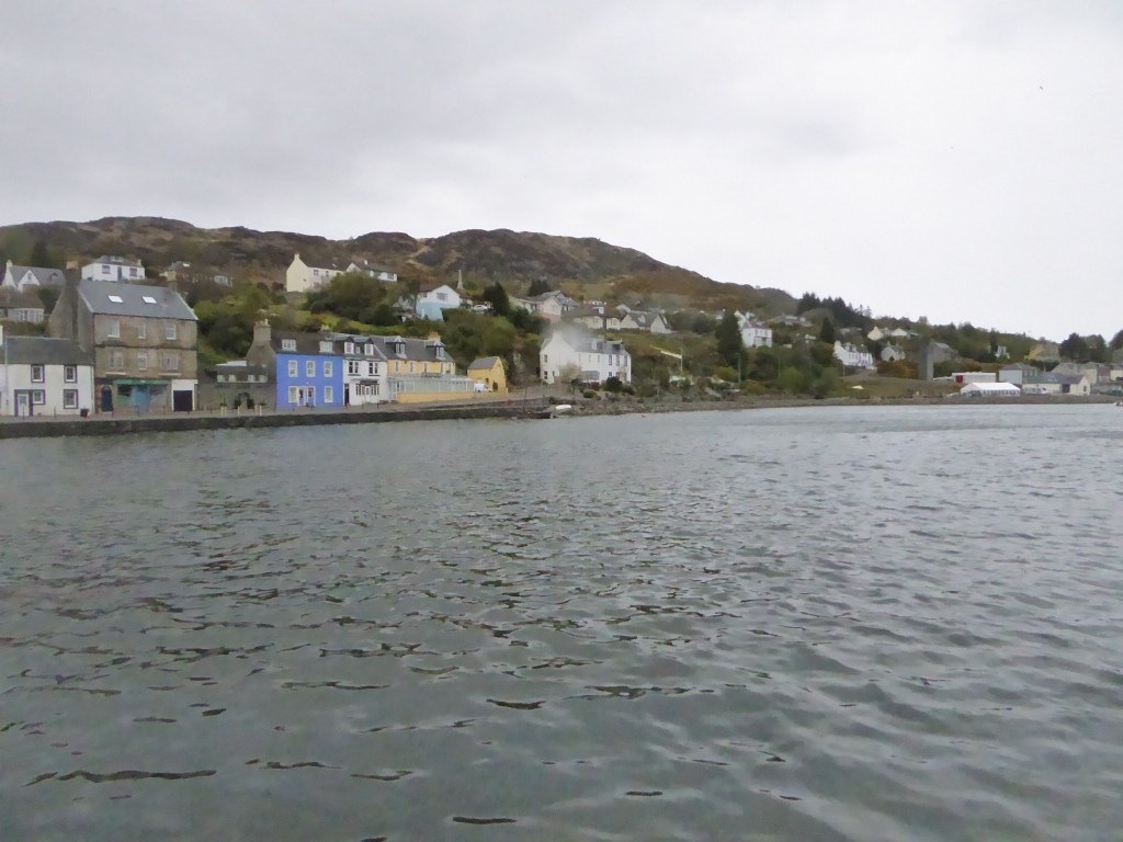
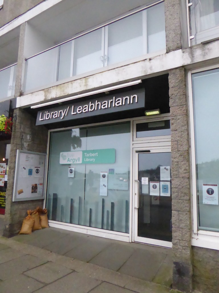
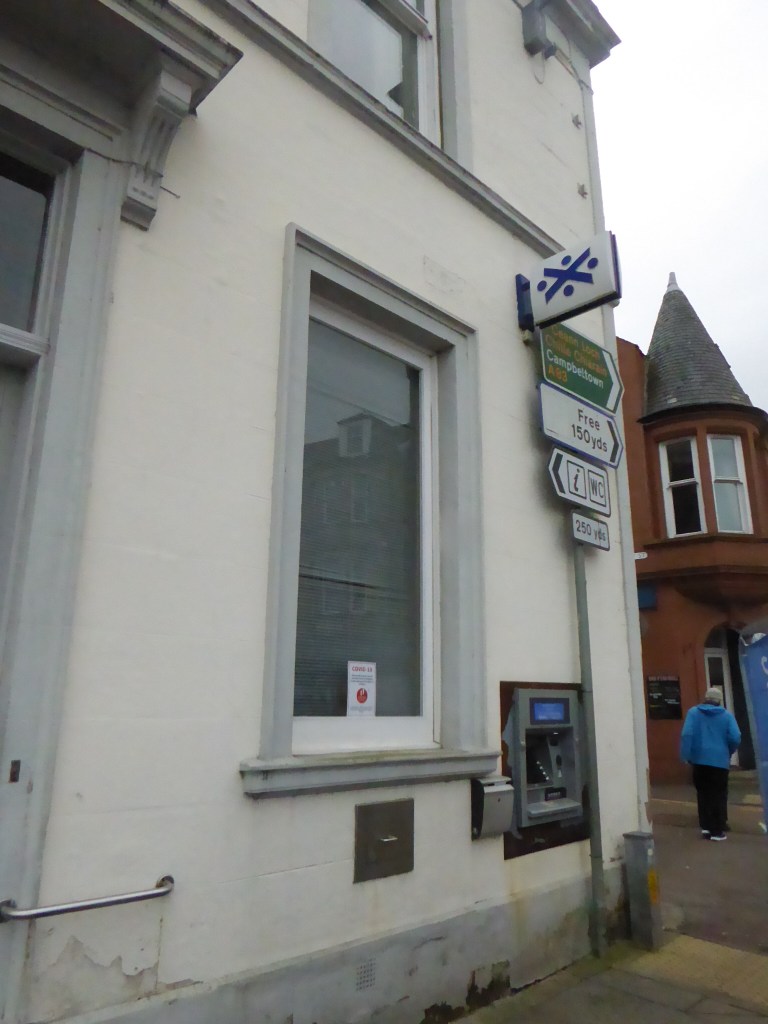
The castle is fab (food, view, service) and the next day we took a trip to nearby Tarbert. With it being the second time there, I noted that it is not a toy town Scotland; people actually live and work here. It may not be filled with Londoners and their organic tofu café’s but still has a certain, realness to its charm.
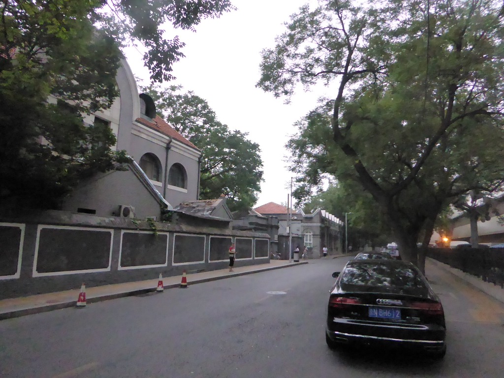
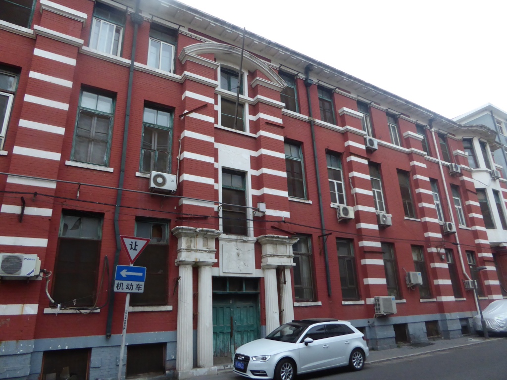
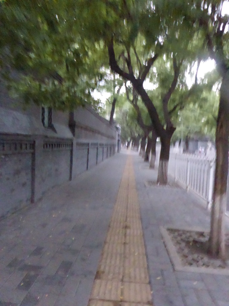
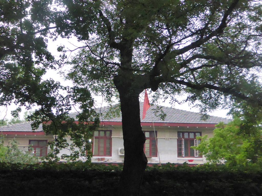
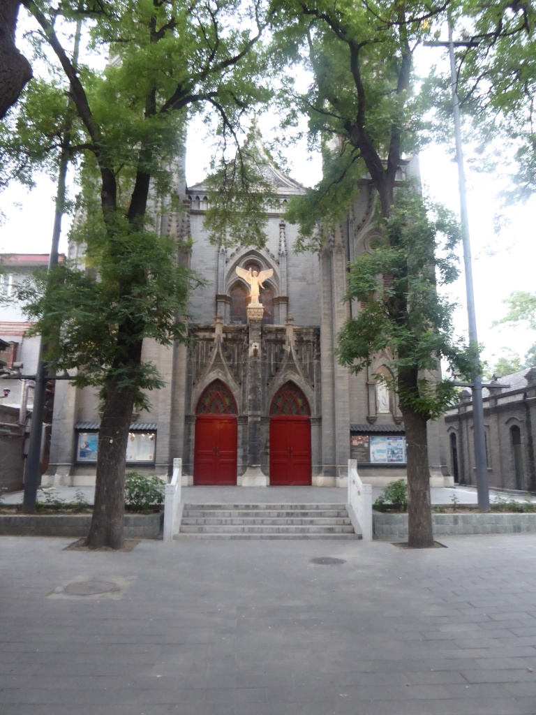
To continue this series on Beijing, I was amazed that the old buildings from when the European powers were here a hundred odd years ago, are still standing and looking good. There was also a number of older, mature trees, that I didn’t see any where else in central Beijing.
Automatically, all seemed “different”, and “old” and more “European”! In fact, it reminded me of home, in Glasgow. So much so, that I automatically assumed, that there should be a pub nearby!
St Michaels Church, Beijing
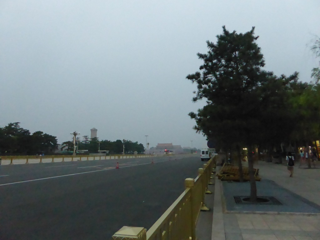
From here, it was very short walk to Tiananmen Square, though it was approaching dusk, and the light was not good enough for more shots.
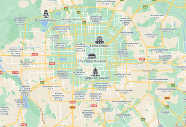
As there is little to traveling right now, I’ll go over some of my recent travels. Please try Beijing. As you can tell from my crude map, it’s a very centralised type of old city, with a central ring road and road system; ideal for walking.
Of my trips to the far east, two were to China, with the second trip seeing Beijing for a second time. After the first time the year before, I couldn’t wait to get back. Unfortunately, I lost many of the photos from that year, owing to a disaster with my PC! Not deterred, after the second visit, I actually took my time to save my photos onto my hard drive properly.
Please, before you die, I’d recommend that you go here. It still has enough of its old charm (though you may disagree), that is mixed with its newfound wealth.
I’d recommend, and the next few blog posts will show, several things:
* The Hutongs * The old European quarter / Tiananmen Square * The zoo / Summer Palace, in the outer northwest of the city * The Qianhai Lake area, a musical, hive of activity, particularly at night * Just walk in the streets – Central Beijing is VERY easy to get about in.
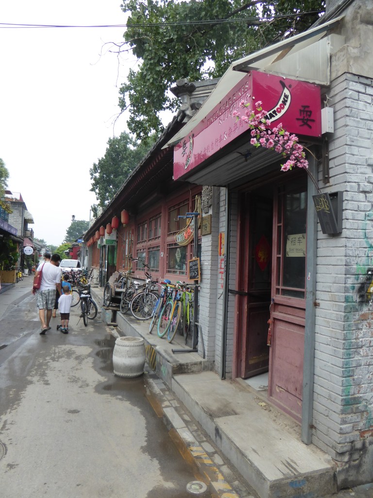
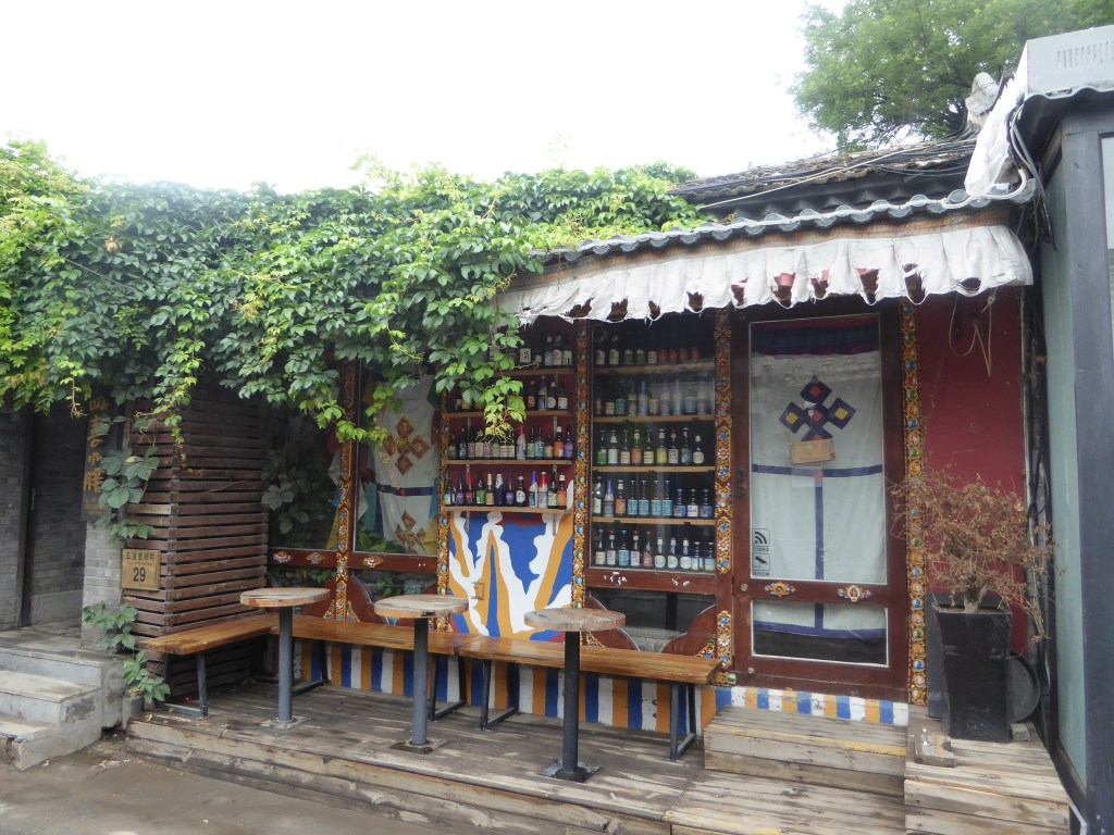
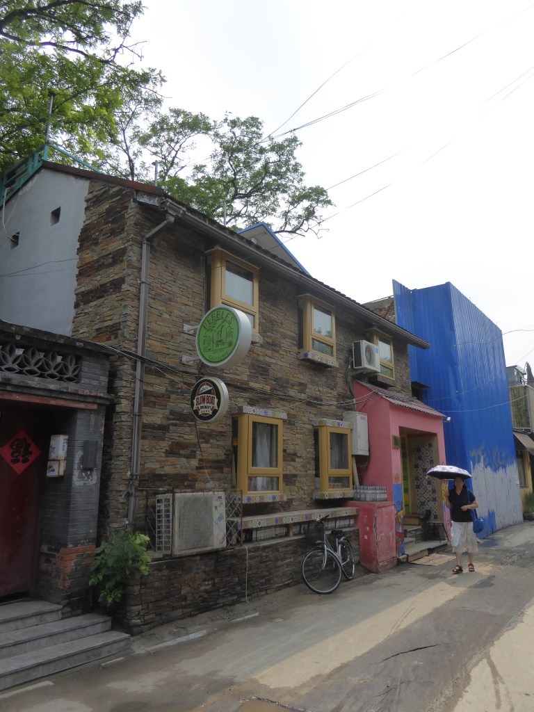
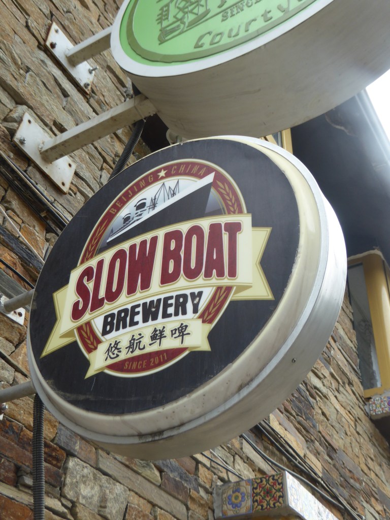
We started by getting a cheaper, studenty / youth hostel – the 161 Hotel, at about £40 / night, that also did a reasonable breakfast, right in the central Hutong area. In addition, the Panda Bear beer was delicious!
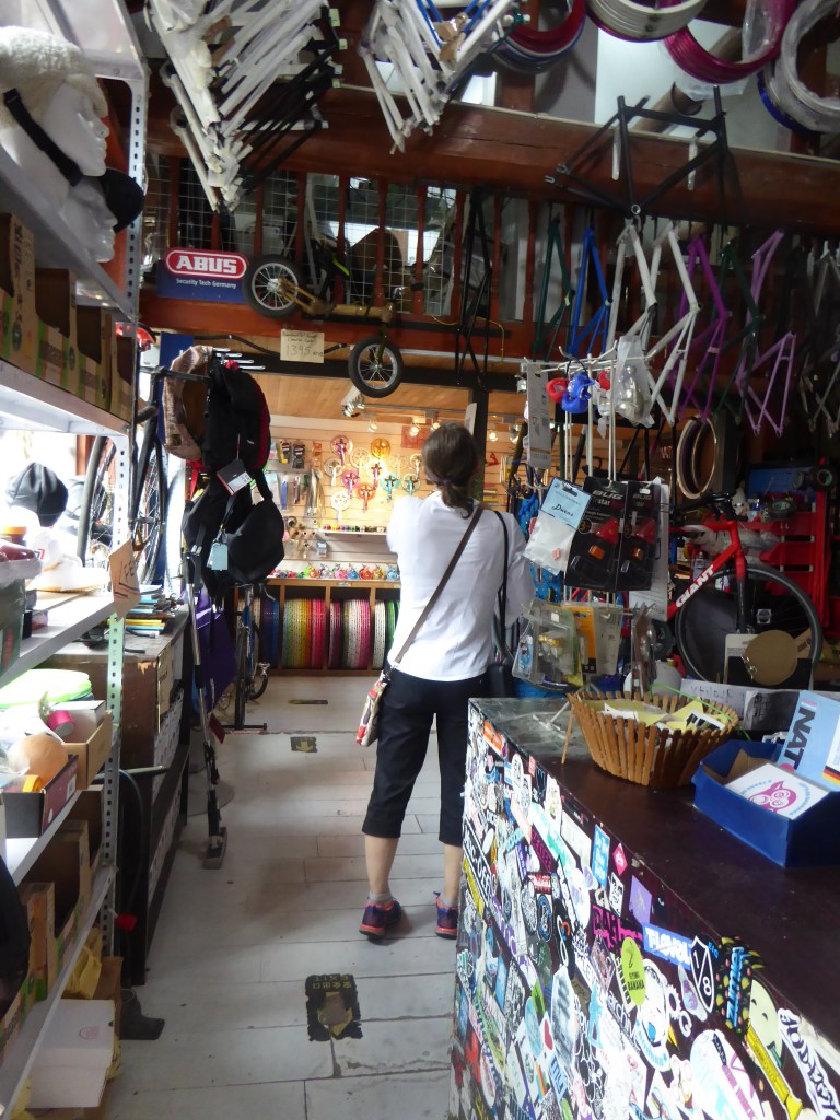
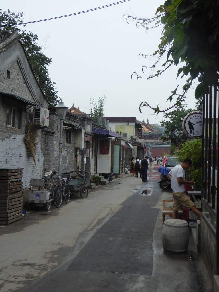
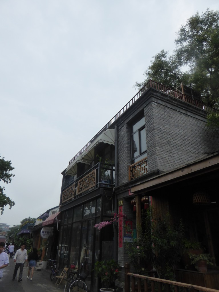
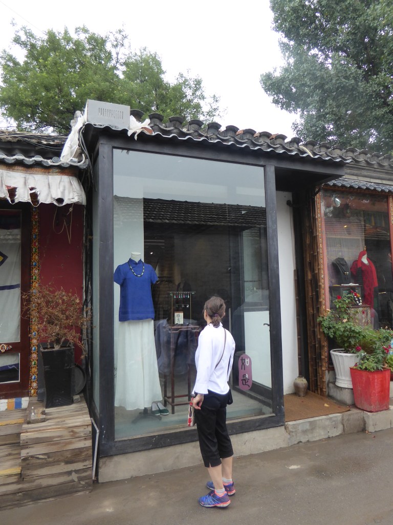
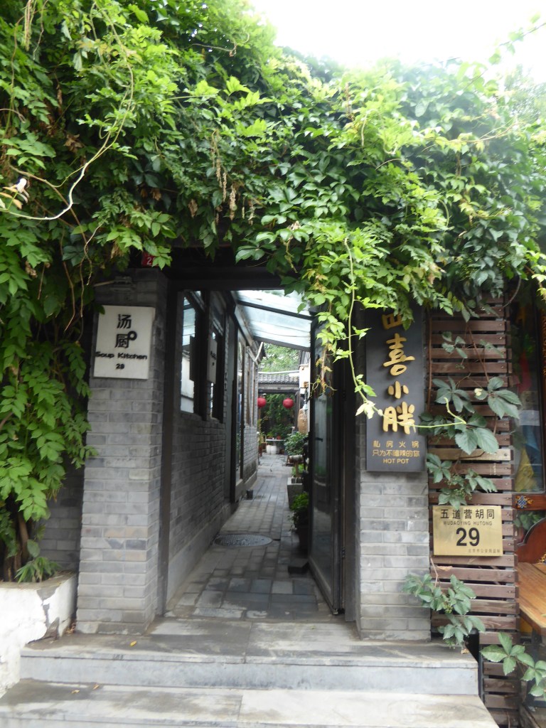
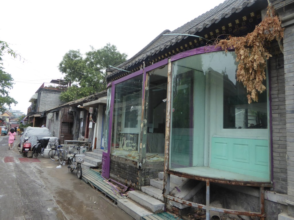
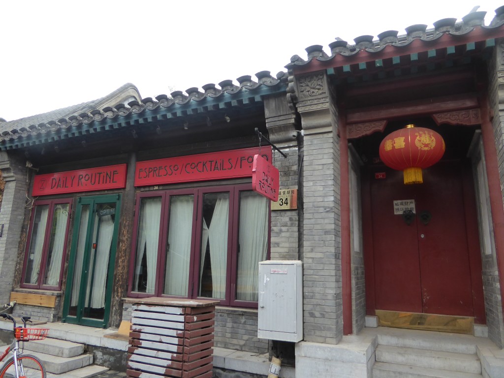
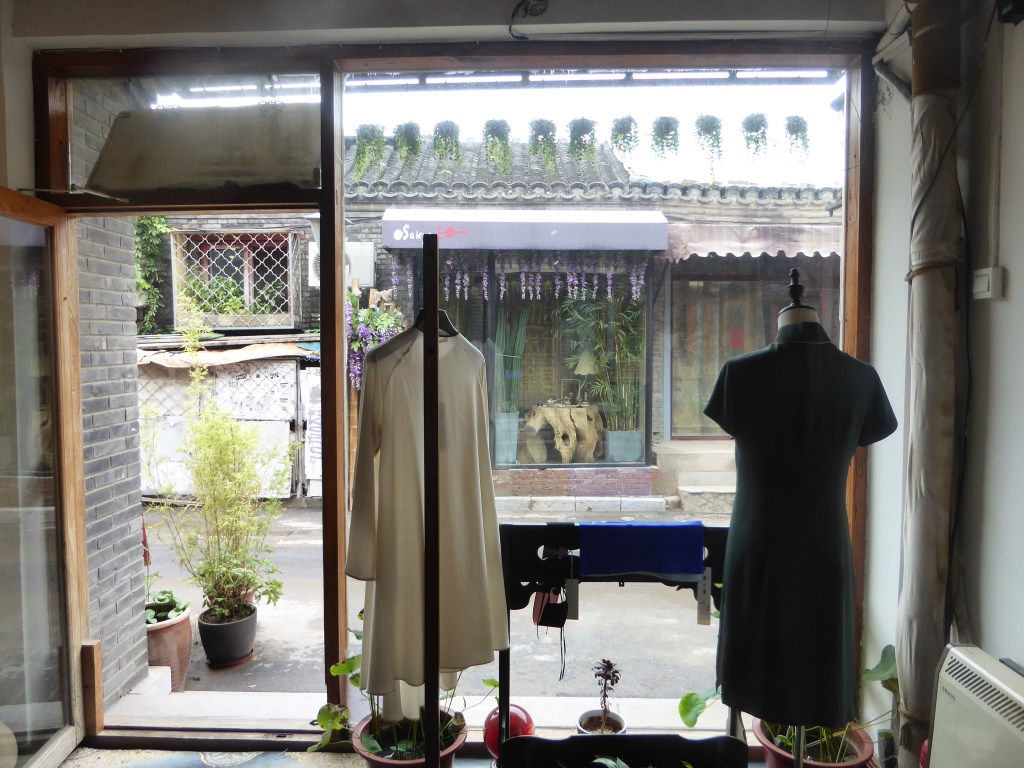
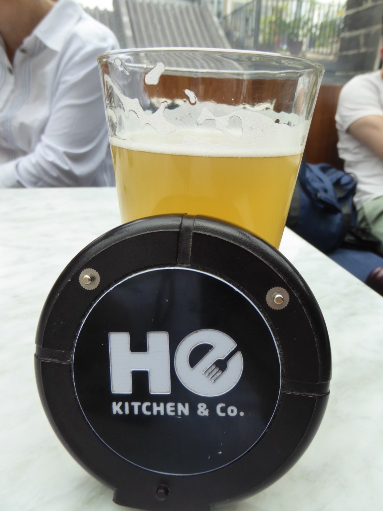
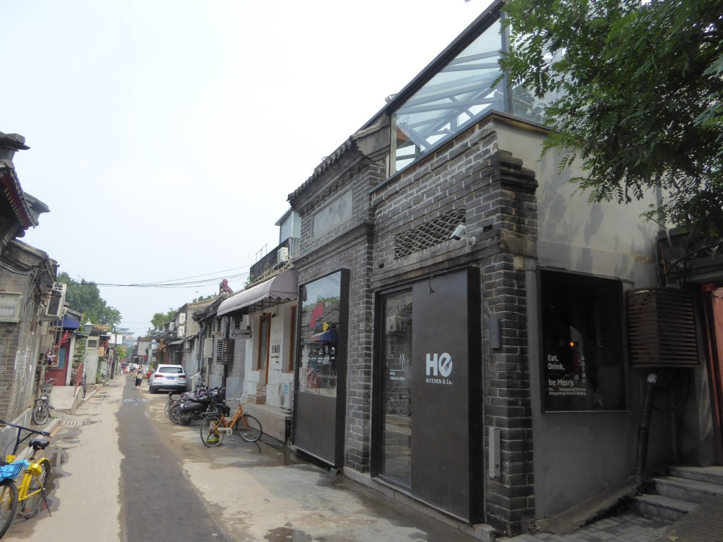
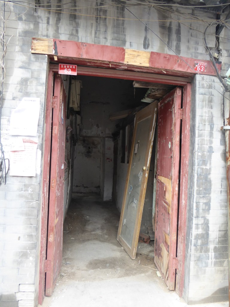
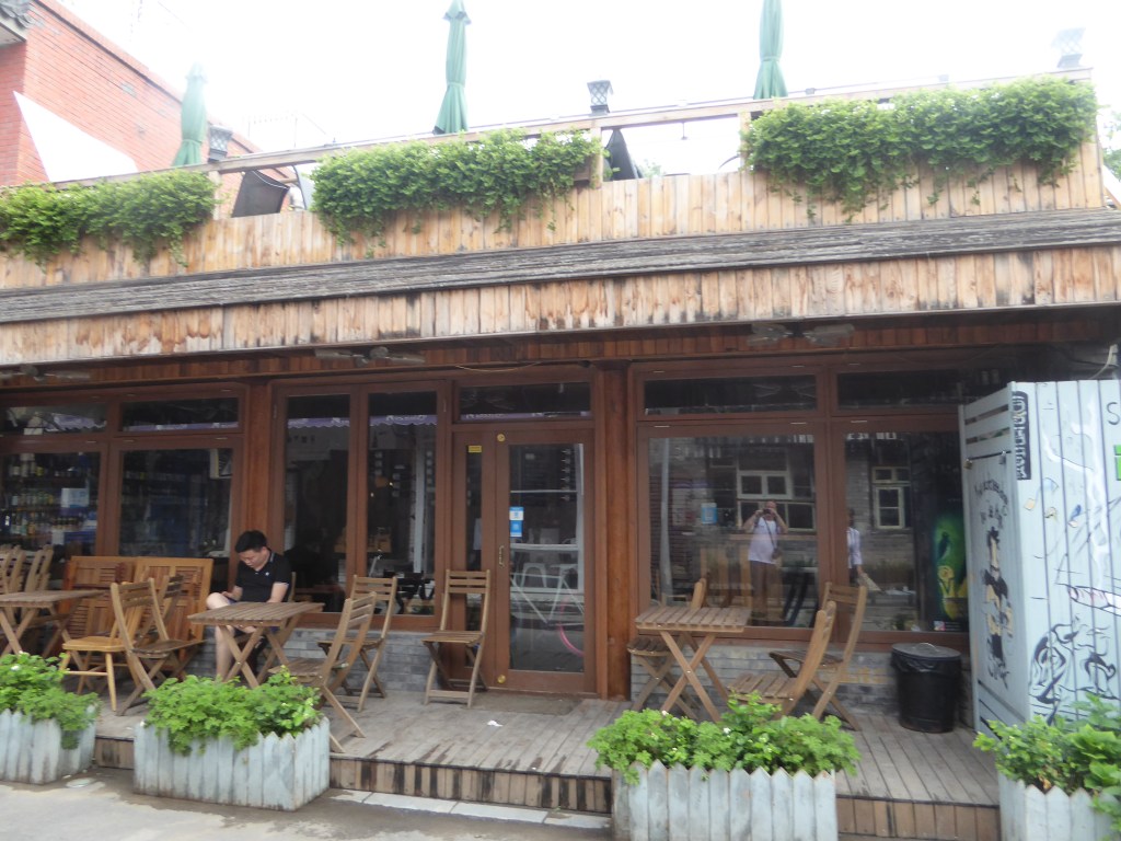
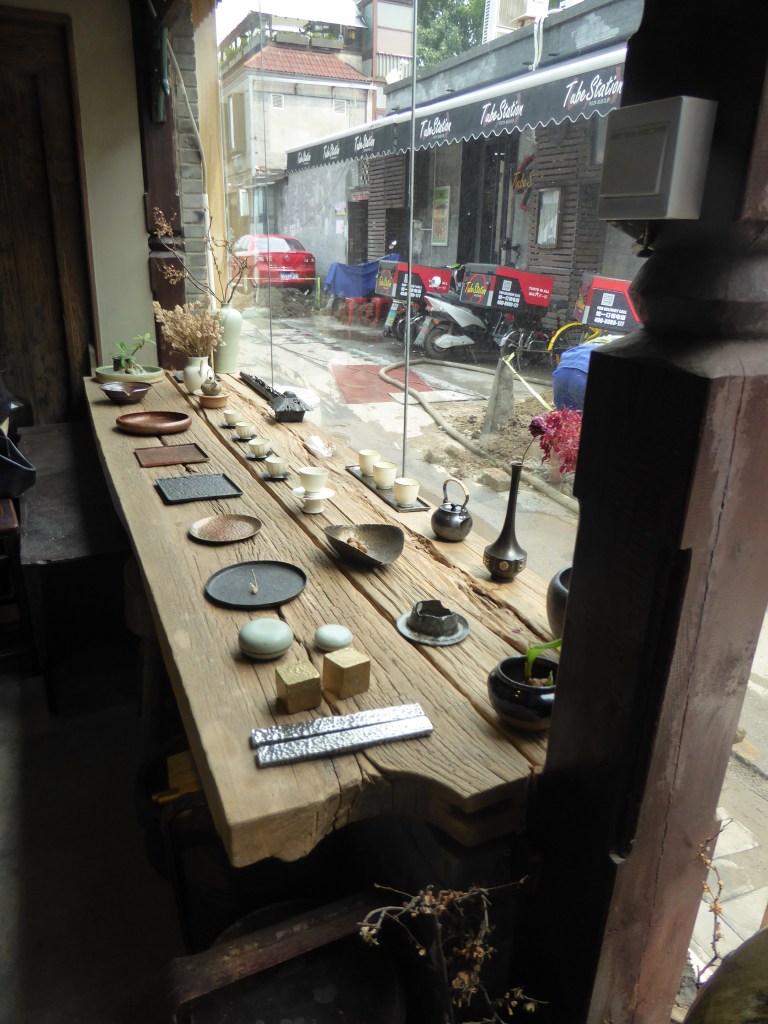
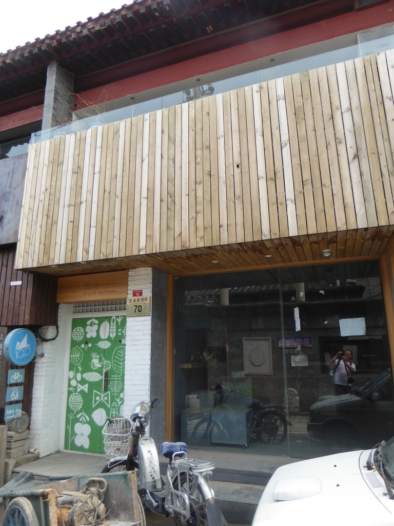
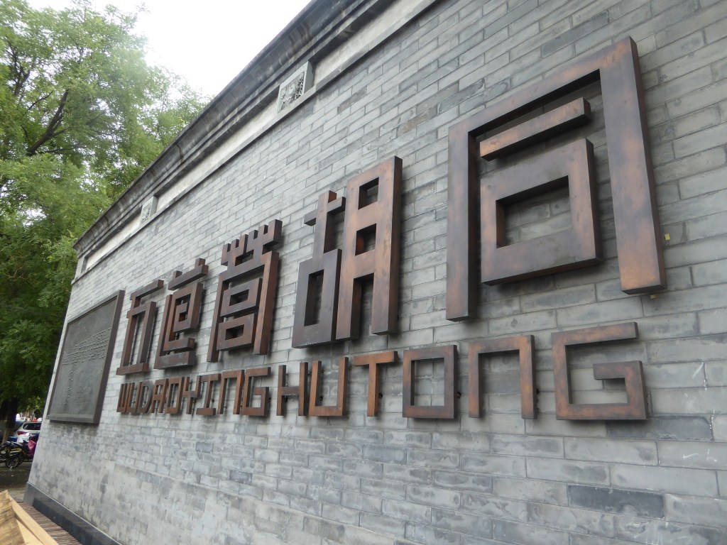
A Hutong being a number of narrow alleyways / streets, that have been used for centuries, both as courtyard residences, as well as an area where some of the old royalty had lived. These are now both being preserved and also possess a variety of cafes, pubs, bike shops, hotels and millionaire flats – in certain areas. My favourite place, was the Ho Kitchen & Co. establishment, with a very nice draft beer. My friend told me, that some of the properties are worth well over a million dollars (or pounds, I can’t remember) nowadays. Mainly for the central location.
Whilst at times, there was a degree of, dare I say impoverishment, the overall level of safety and basic amenities were never in question. Though, I must warn you that it is an experience if you are desperate to use the public rest rooms! From what I had watched on the tv, and what our bartender / barista had confirmed, it is the intention of the Chinese government to launch a mammoth improvement of these much needed facilities, a total of about 100,000, if I understood correctly.
In addition, when I was talking to the said bartender, because I had noticed that in my previous trip (the year before), that there was a larger window in the pub that faced the Hutong street, he confirmed my recollection. But he also added, that this was due to a government edict, that he really had no desire to talk about – which was interesting.
All of the photos are from the Wudaoying Hutong area.
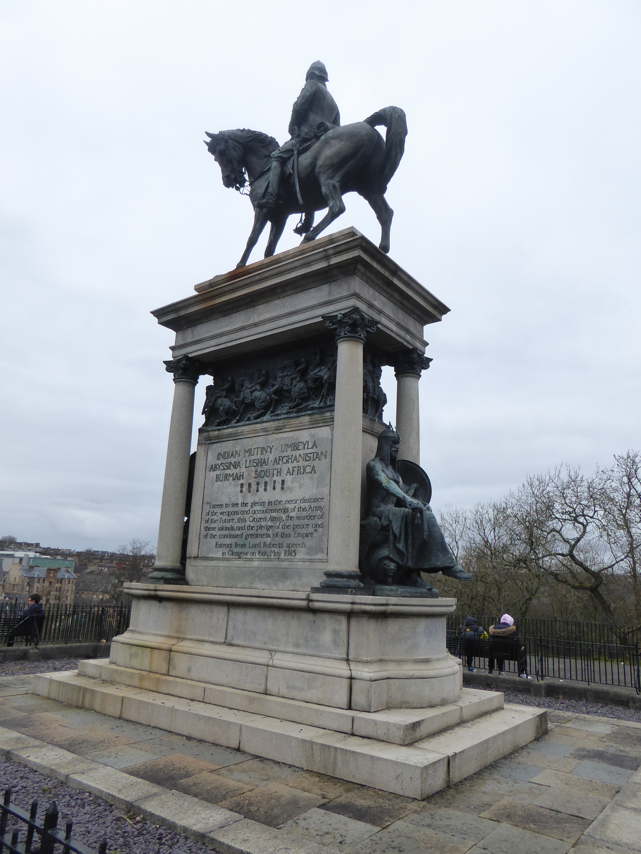
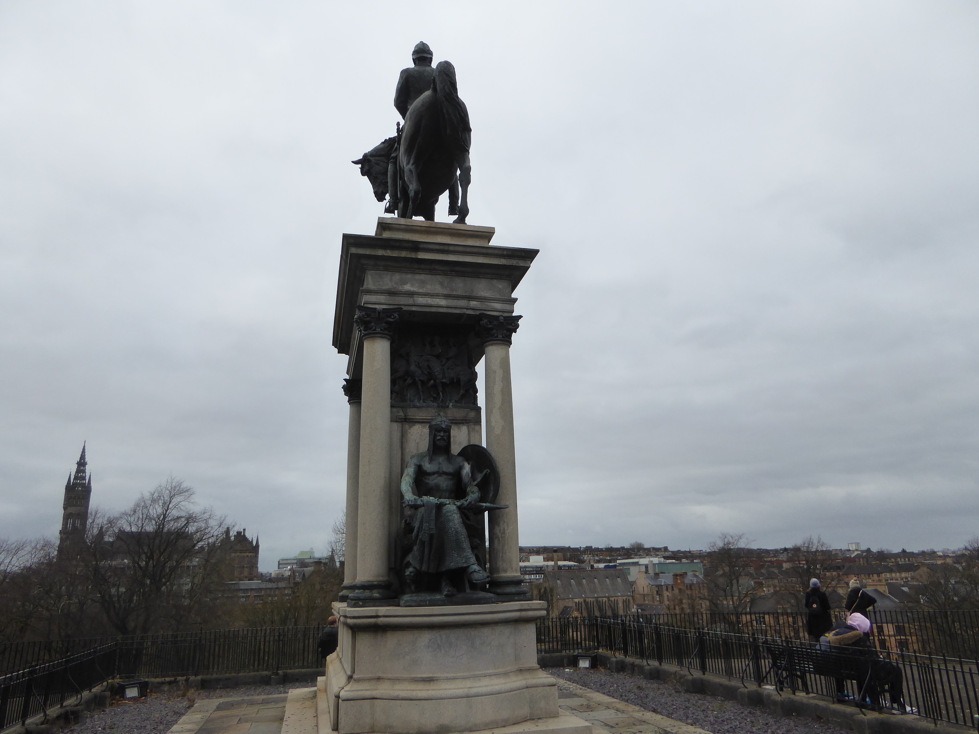
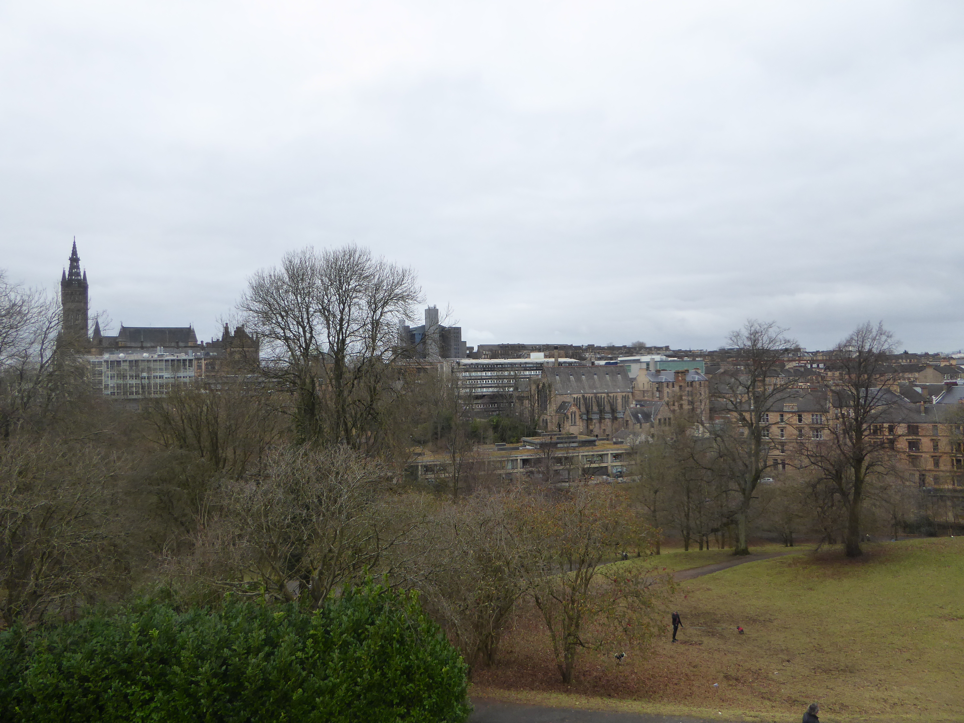
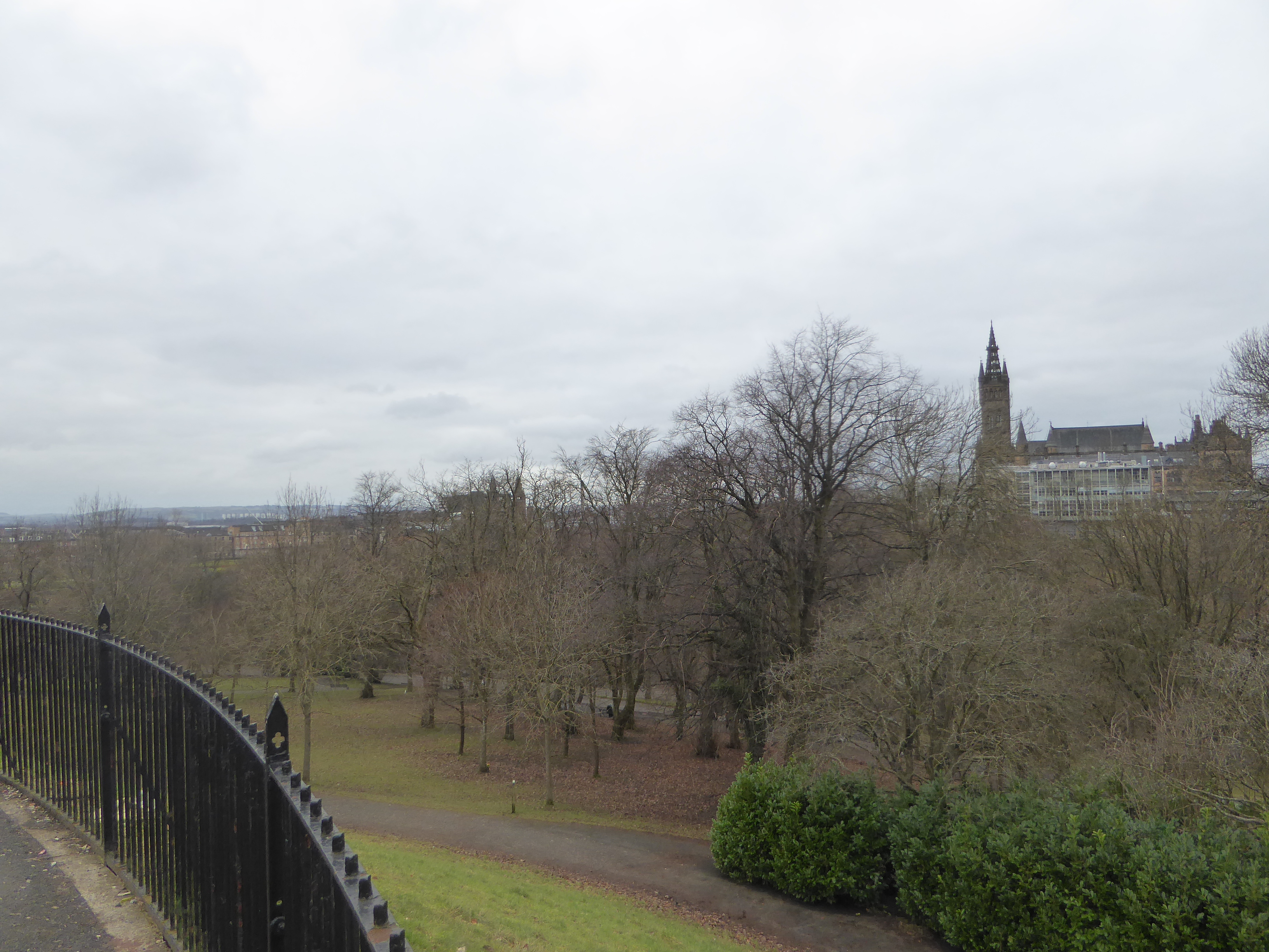
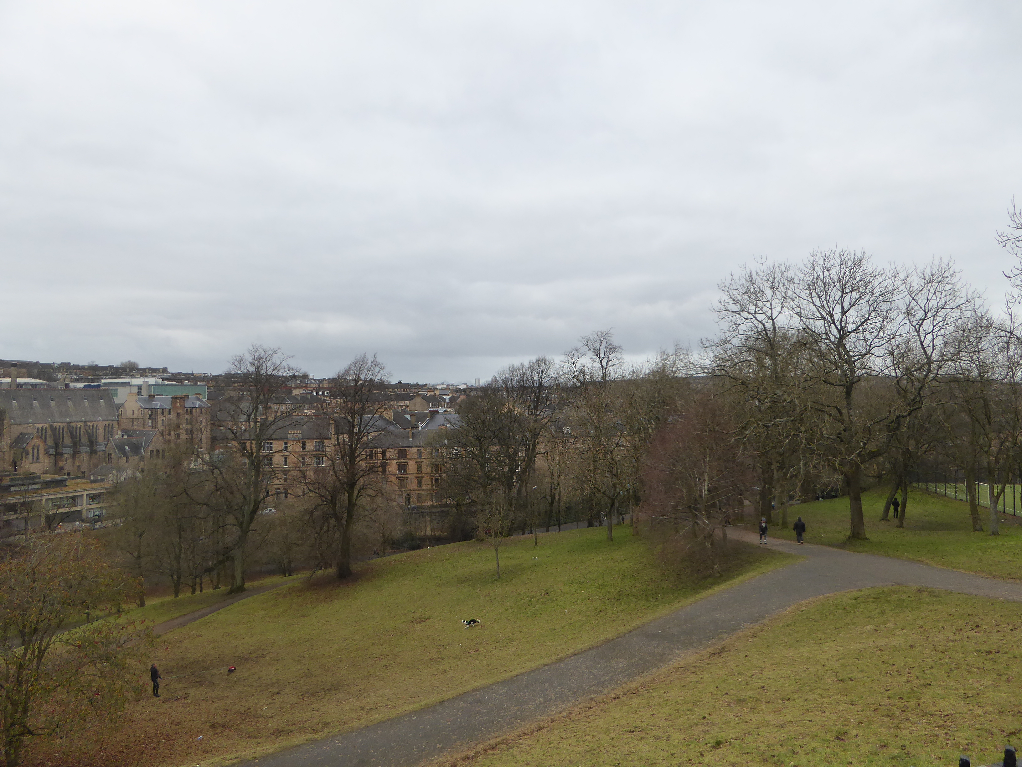
To complete my Park Circus photo blog, I started at the Lord Roberts monument, at the entry to the Circus from Kelvingrove Park. Roberts happened to be the last Commander of British Forces, before the post was abolished in the early 20th century. This is looking west, over Kelvingrove Park , Glasgow University & the part of the West End known as Woodlands.
From here, we moved east, to the entry of the Circus, looking at Park Gate.
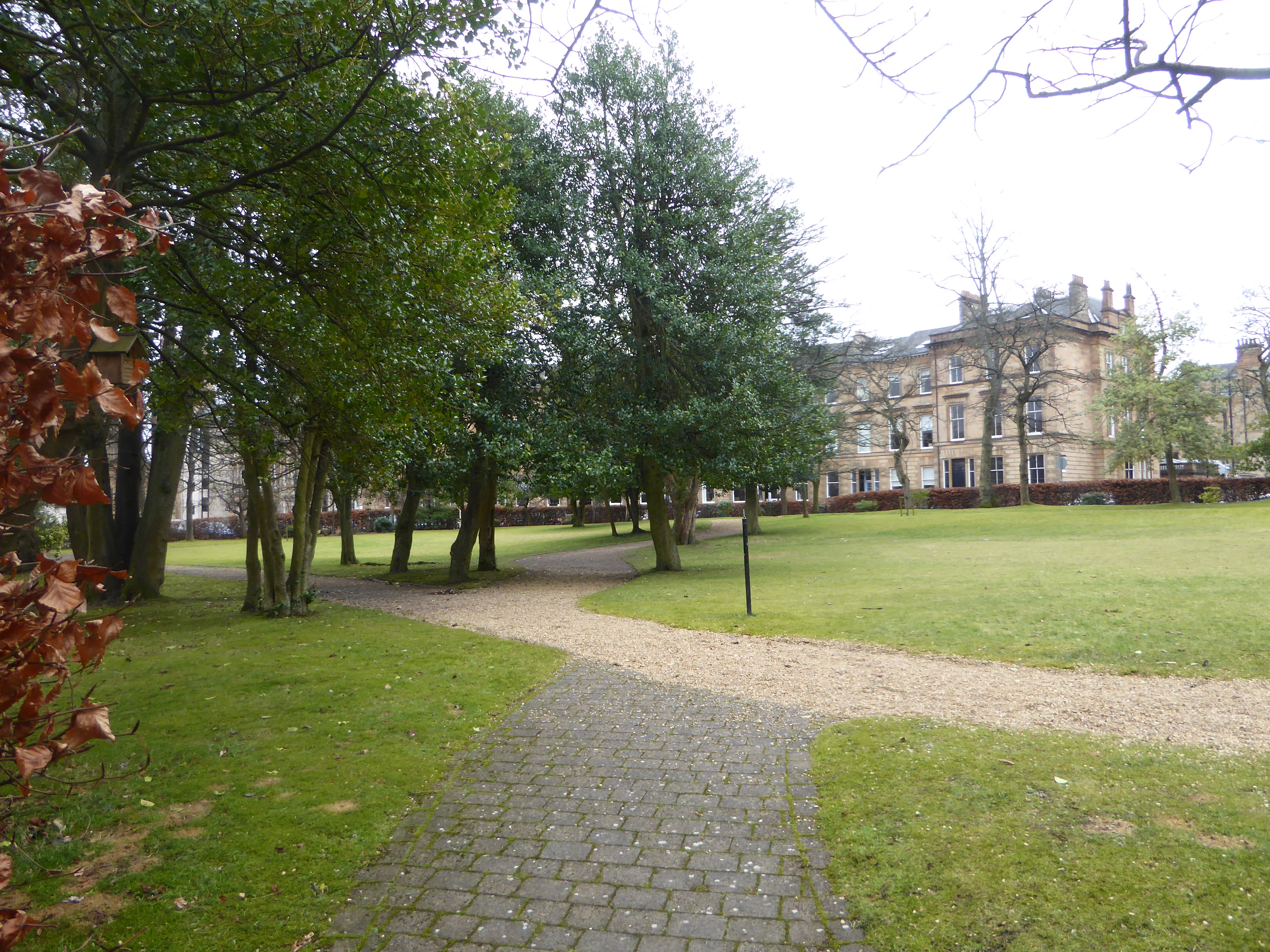
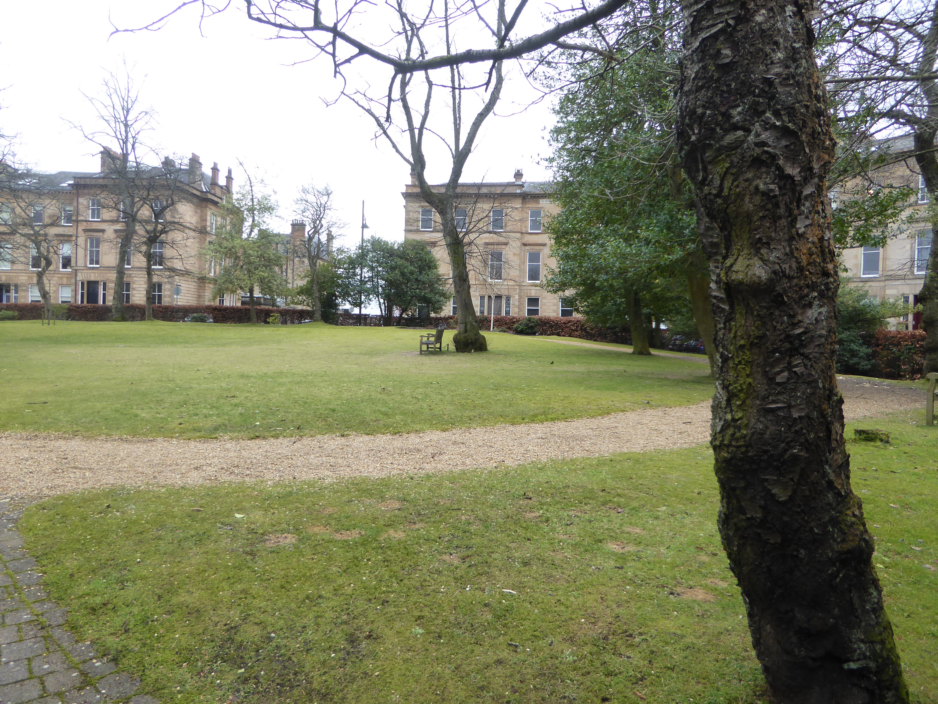
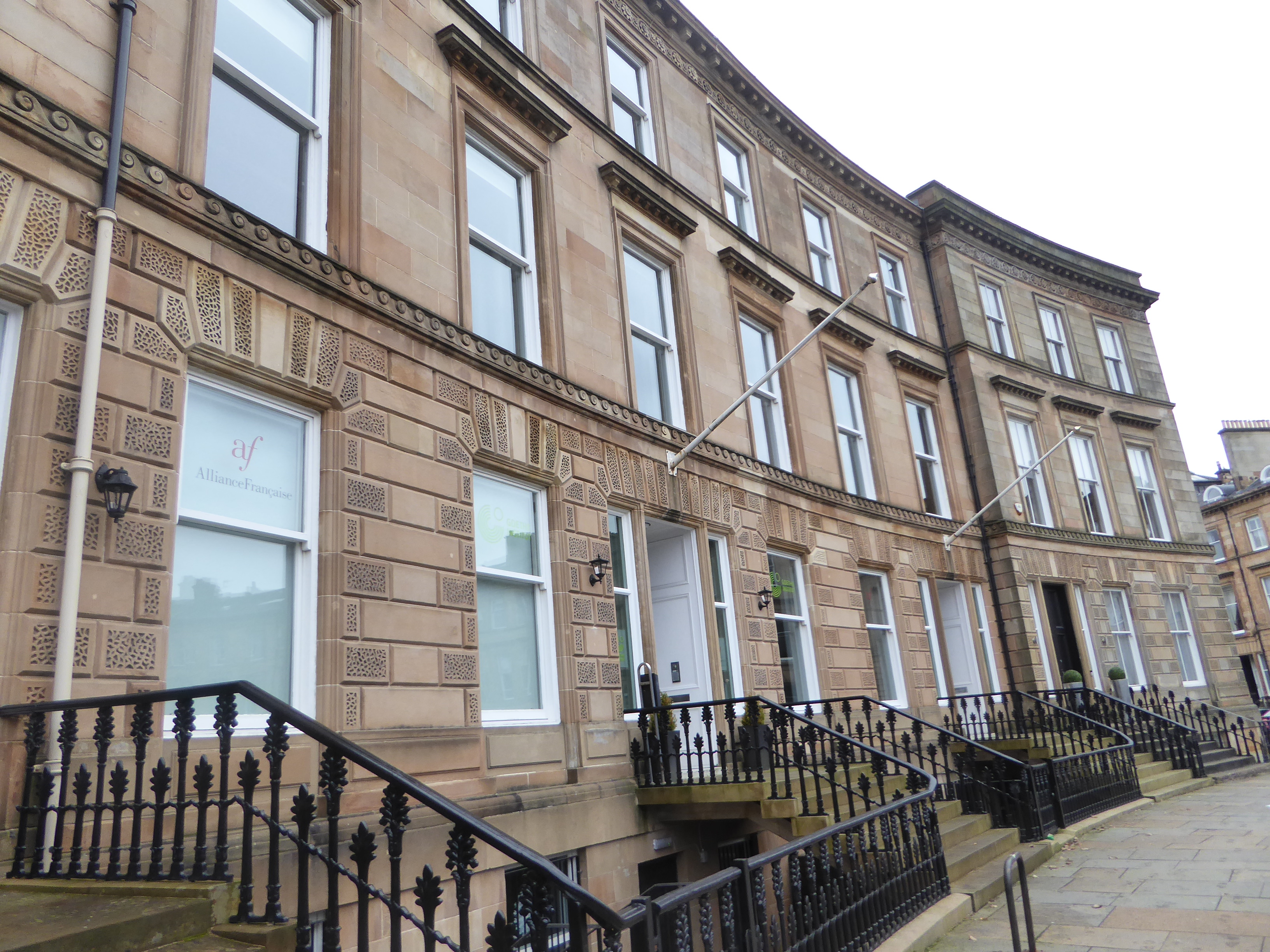
Thence, we meandered to Park Circus’s north side, its central park area, and the south side of the Circus; complete with a Goethe Institute / Allianz Frances.
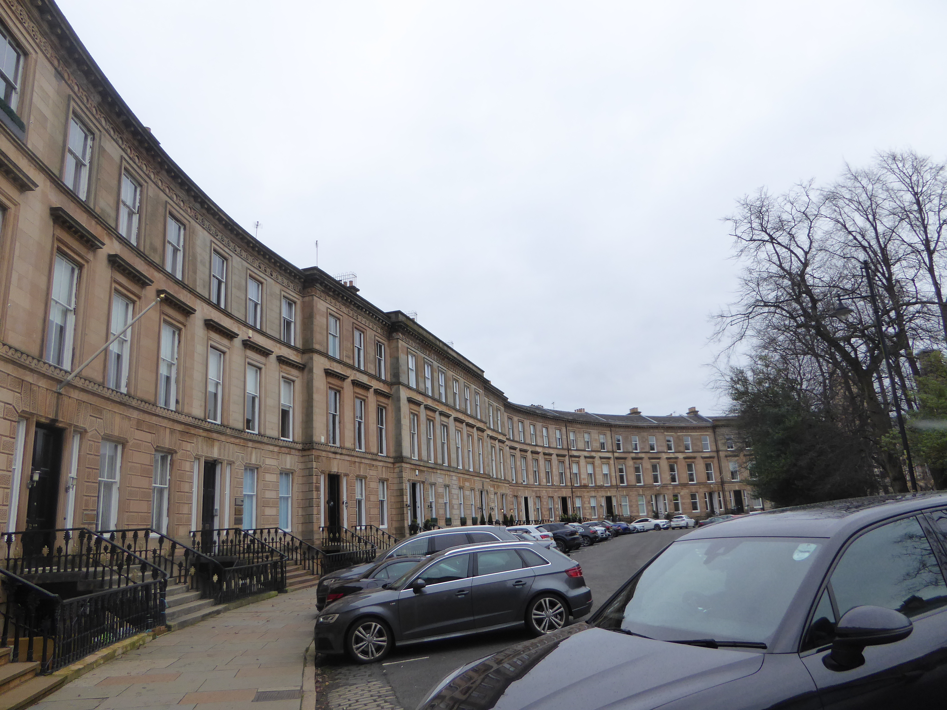
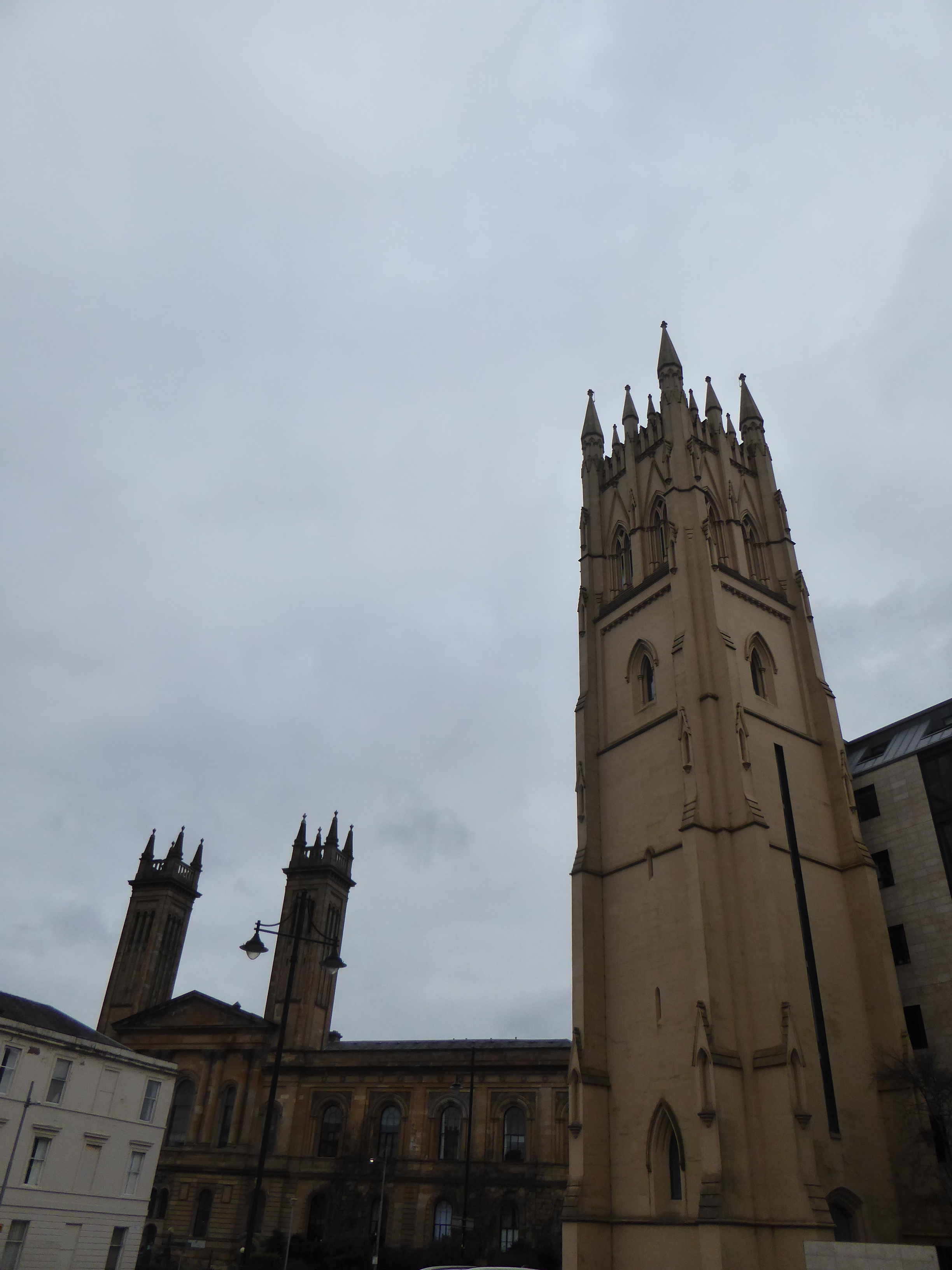
On the way out of Park Circus, we see both the Trinity Church (the Old Trinity College that was part of Glasgow University), and the old Park Church (Free Church college) on Lynedoch Place, that was rather disgracefully destroyed in the late 60s, with only the tower remaining.
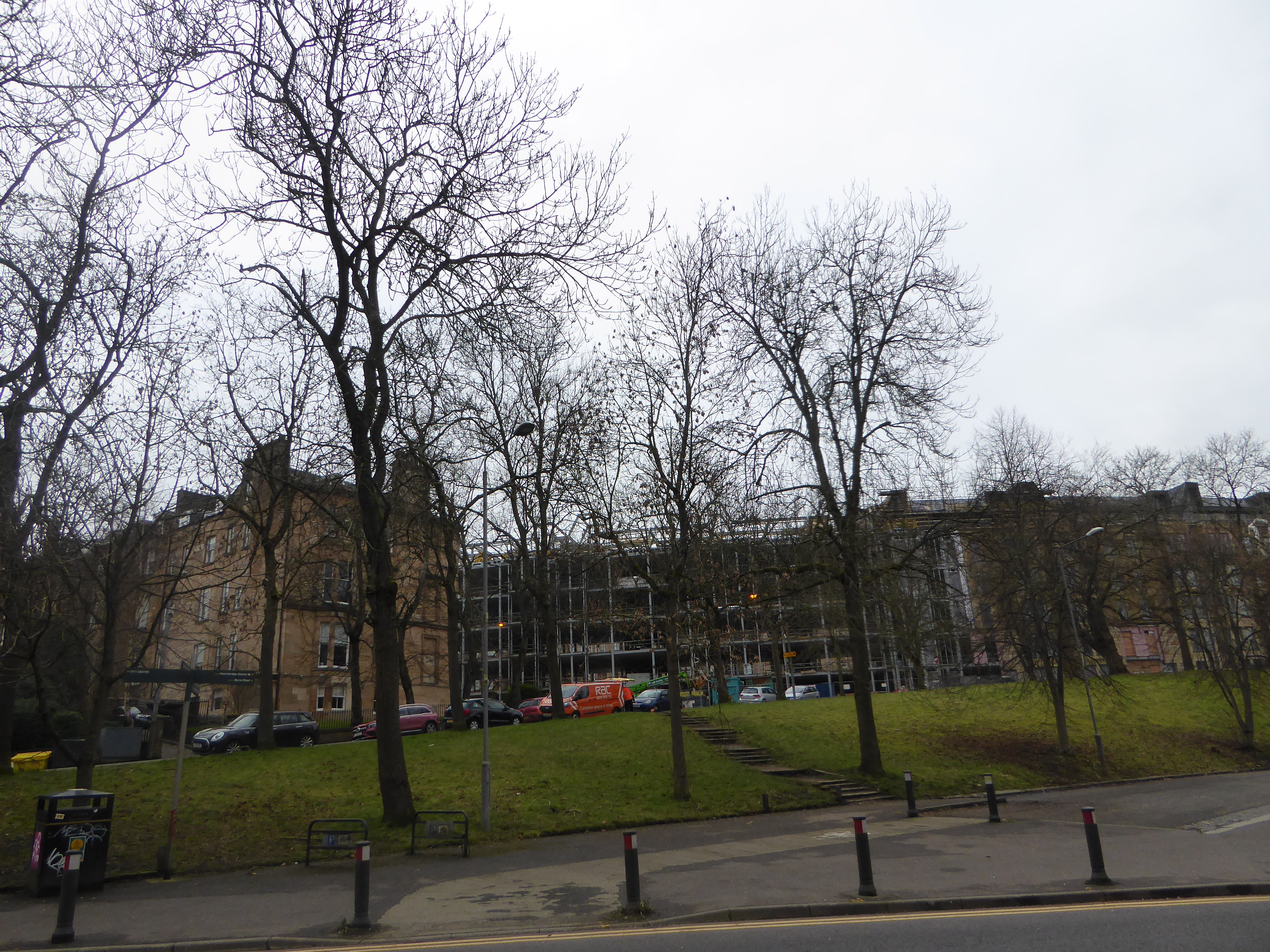
After heading west on Lynedoch Crescent, there are now a number of new builds on the left, that actually follow the old design plans that were there in the past, on Park Quadrant.
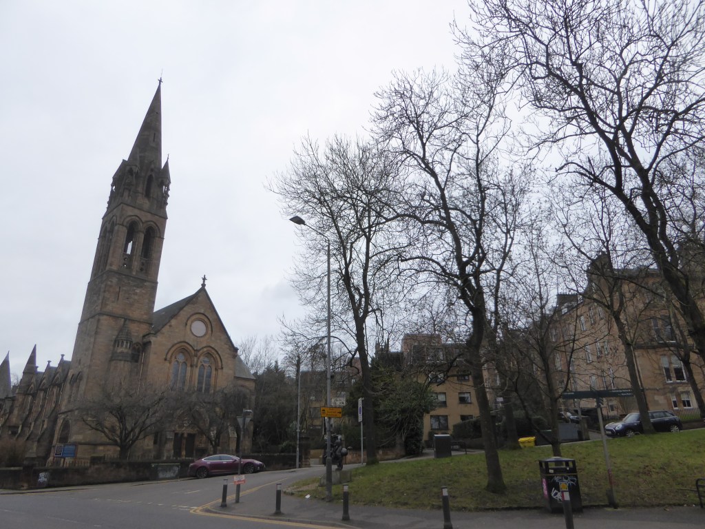
Finally, on the way down and out from the Circus, we are in Woodlands Road, by the Free Presbyterian Church, travelling back westwards.
For the final part of this delightful walk, and one that I shall be wishing to complete some time soon, we headed from the end, in Filey, and walked briefly backwards to Muston, which at one time had a Scarecrow Festival; but was recently axed!
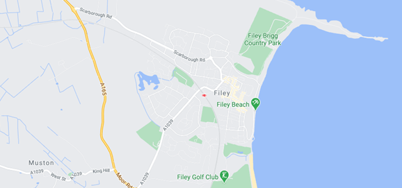
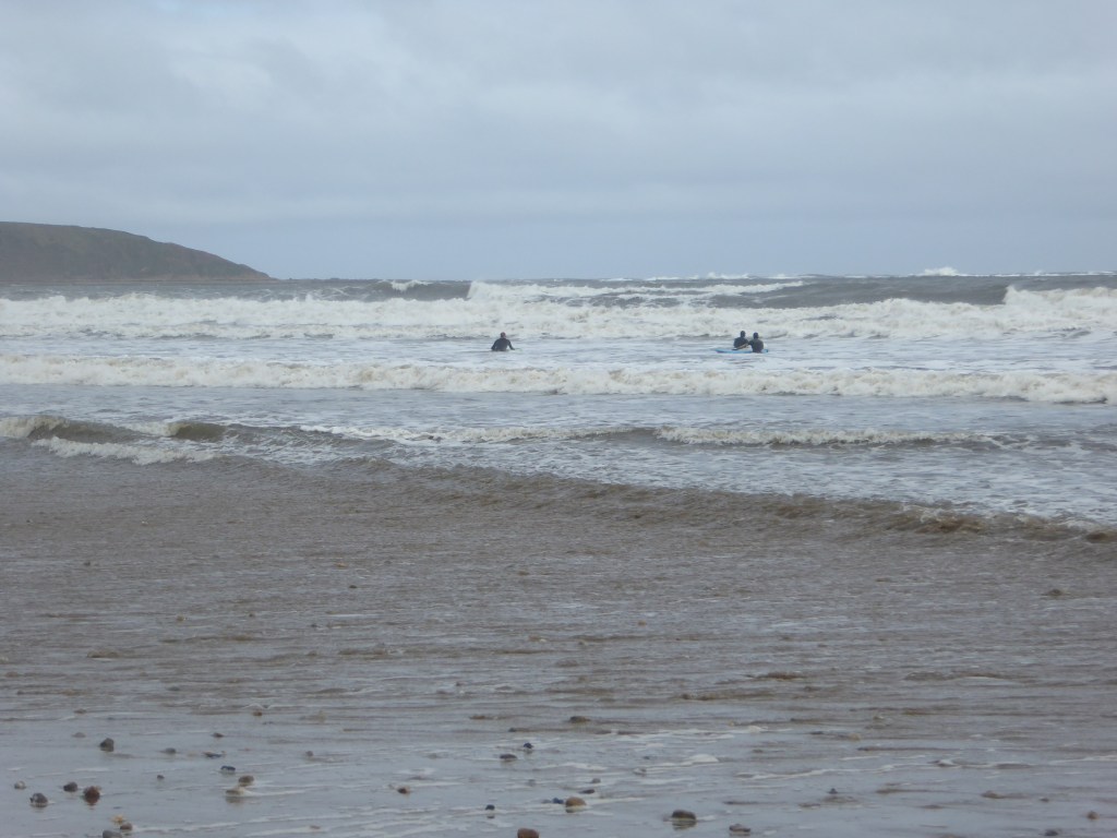
Before we headed off from Filey, we did an incredibly long beach walk from Reighton (Haven Reighton Sands Holiday Park), and headed north towards Filey Beach & Filey, in order to get there; recommended! From the start, Filey was a ways ahead, with a distinctive protrusion that you are welcome to climb if you wish.
Beach towards Filey
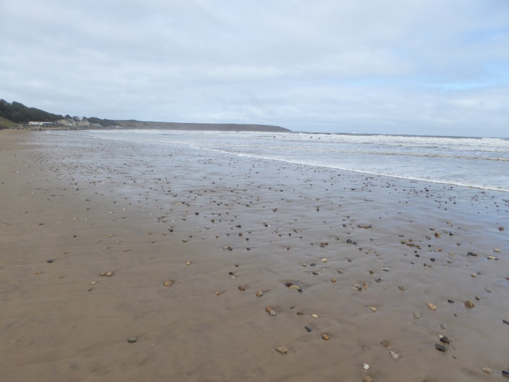
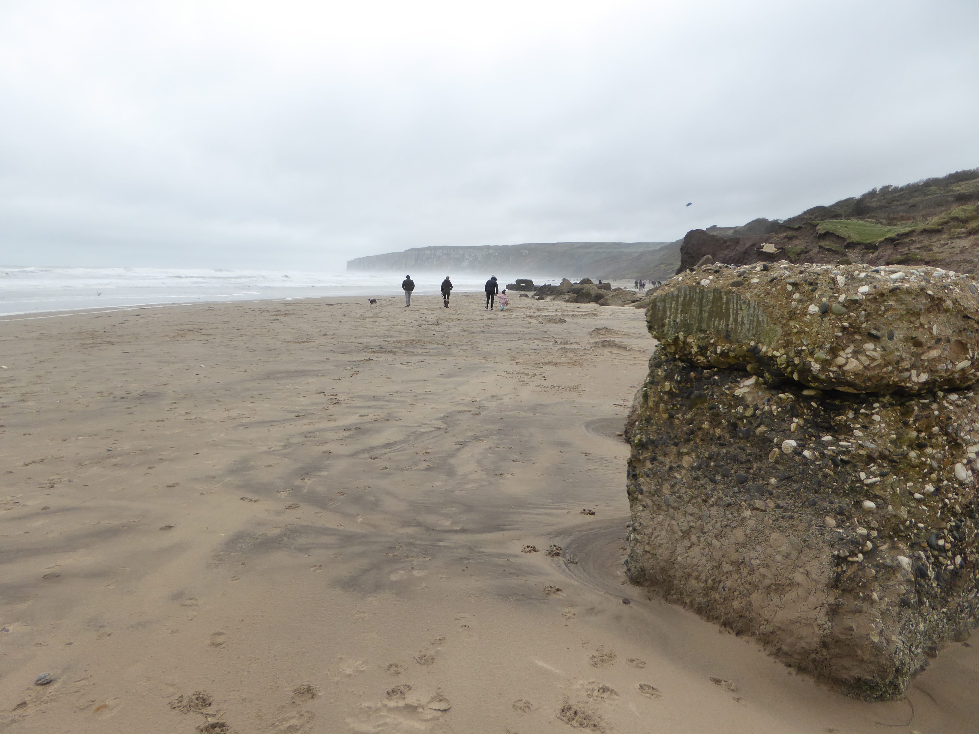
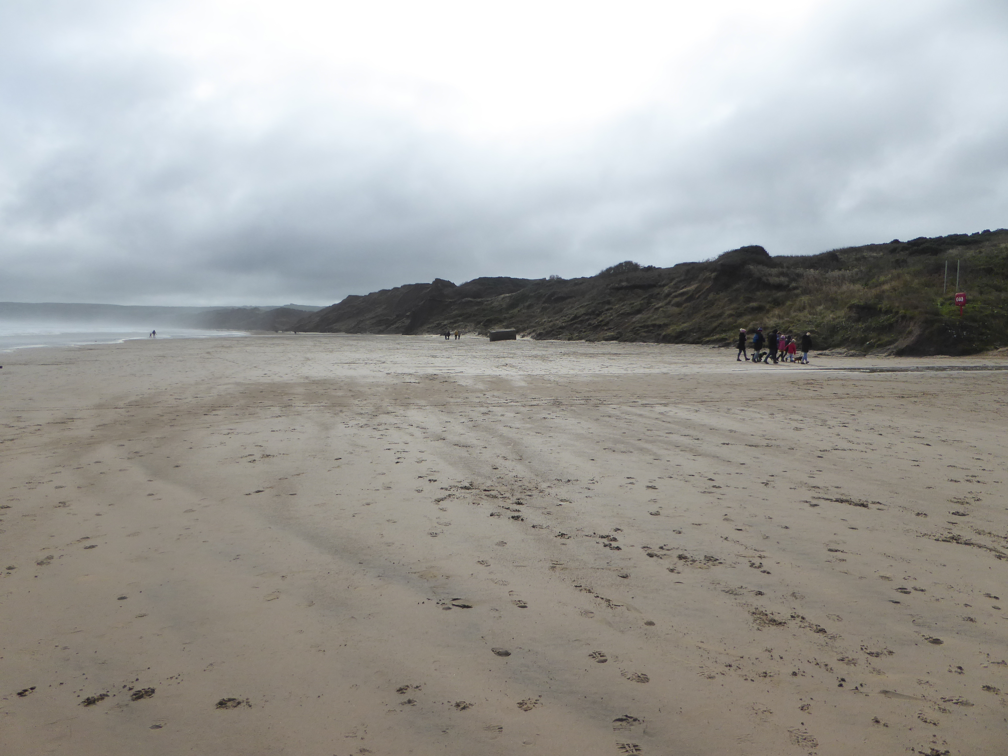
Looking back aways towards the Reighton section complete with WW2 formations, I think. It was interesting to note, just how many people who were there on the day. And also, the number of very well-behaved dogs.
Equally, there were certainly some brave souls catching the waves.
Surfing in Yorkshire!
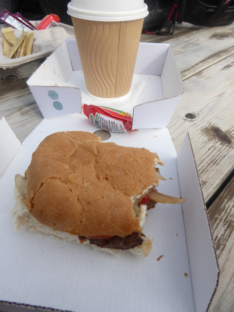
When we finally made Filey, after only an hour, it was a very pleasant surprise. But the appropriate British seaside food just made it seem just so right!
Beef burger; even more delicious after a long beach walk!
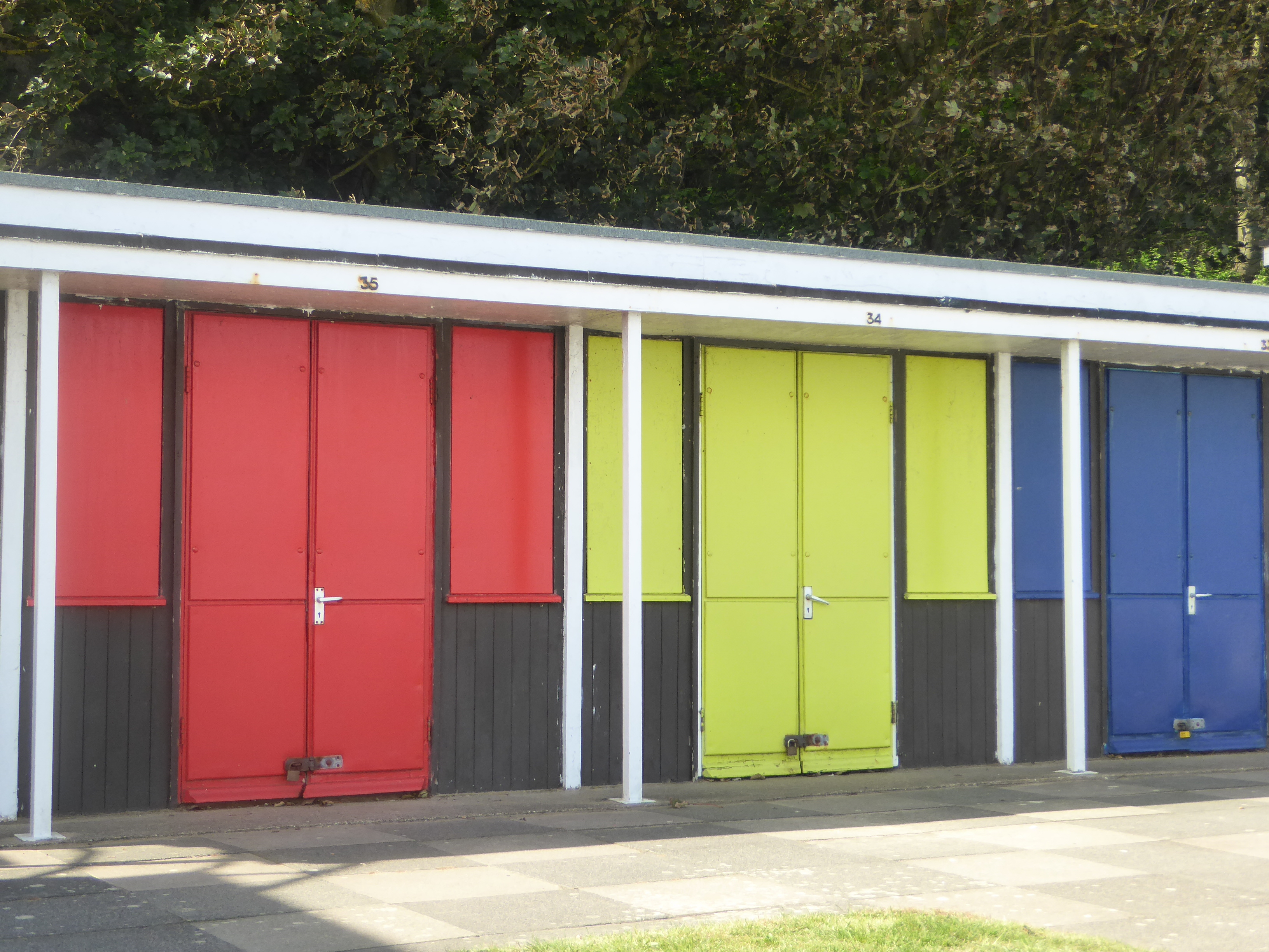
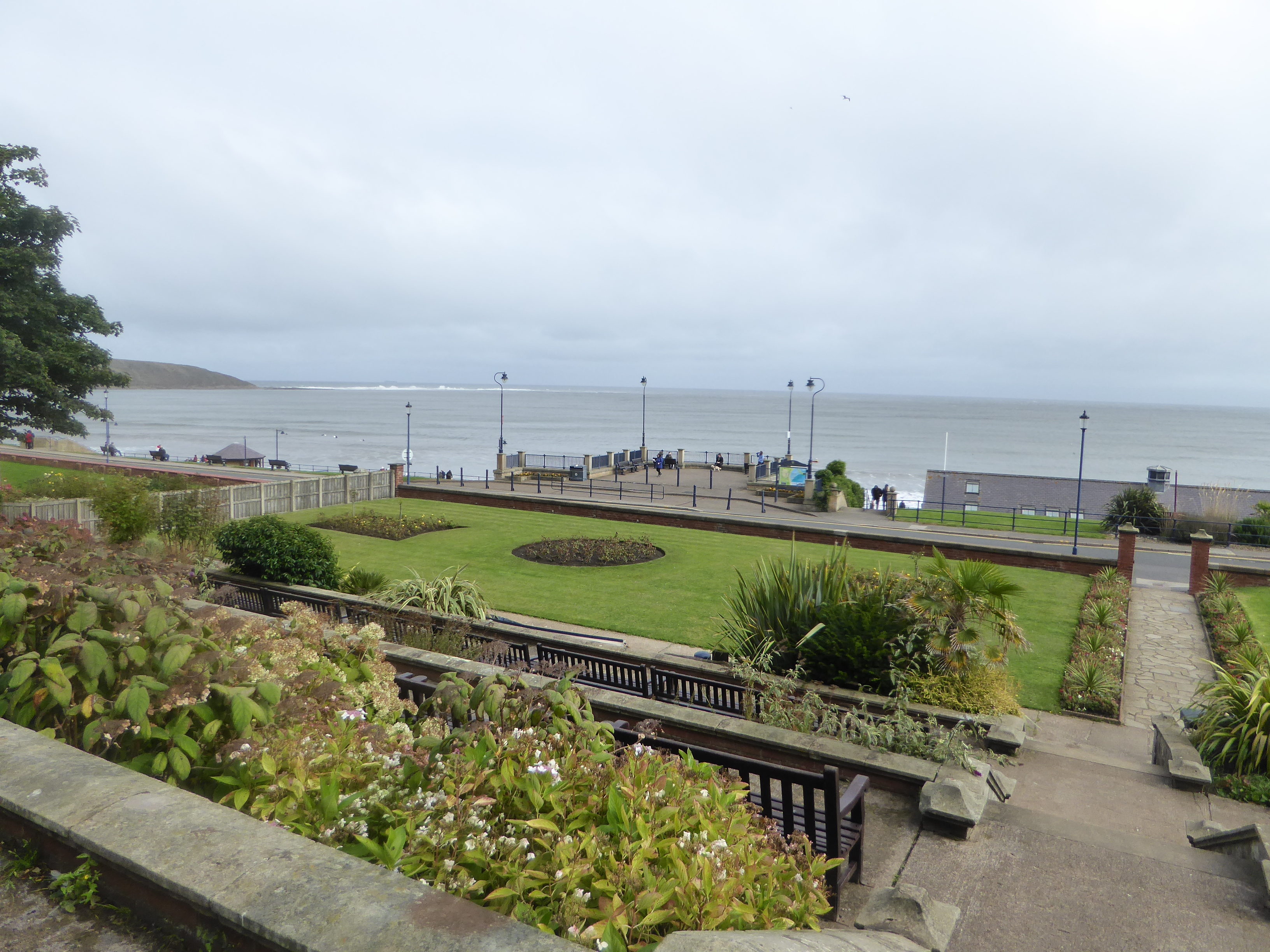
Whilst in Filey, there was everything to expect from a seaside experience, with huts at the beach, delightful views over the coast and a charming town centre.
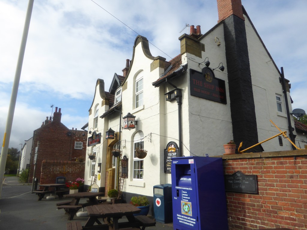
From here, it was actually quite easy to meander through Filey, and onto the correct pathway. It is not very long, and with a distance of only about 2+ miles, we were in Muston in no time . . . for a pint, at the Ship Inn.
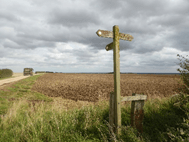
Along the way to Muston, from Filey
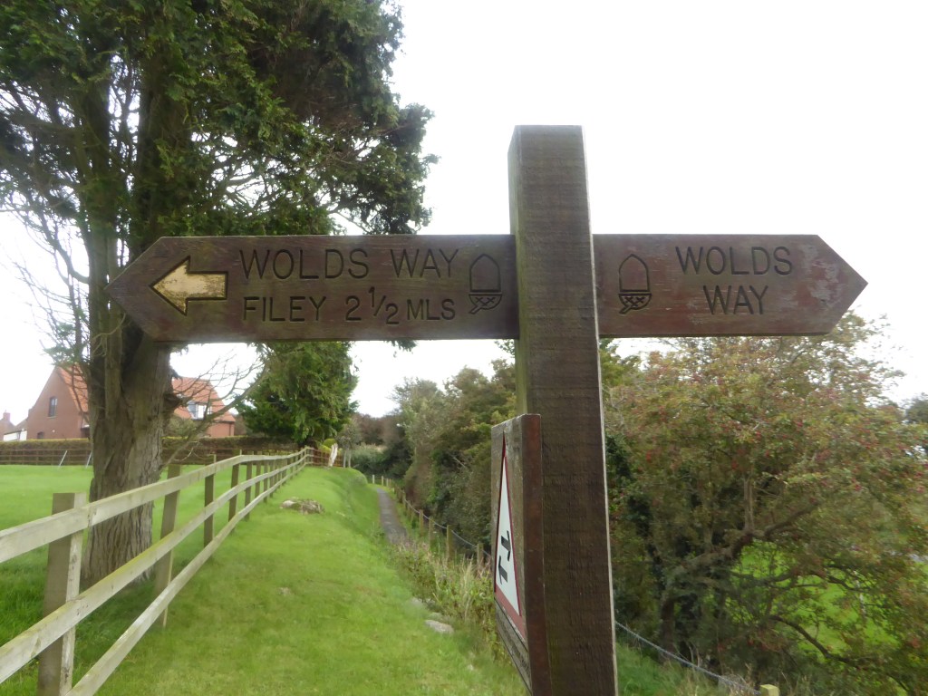
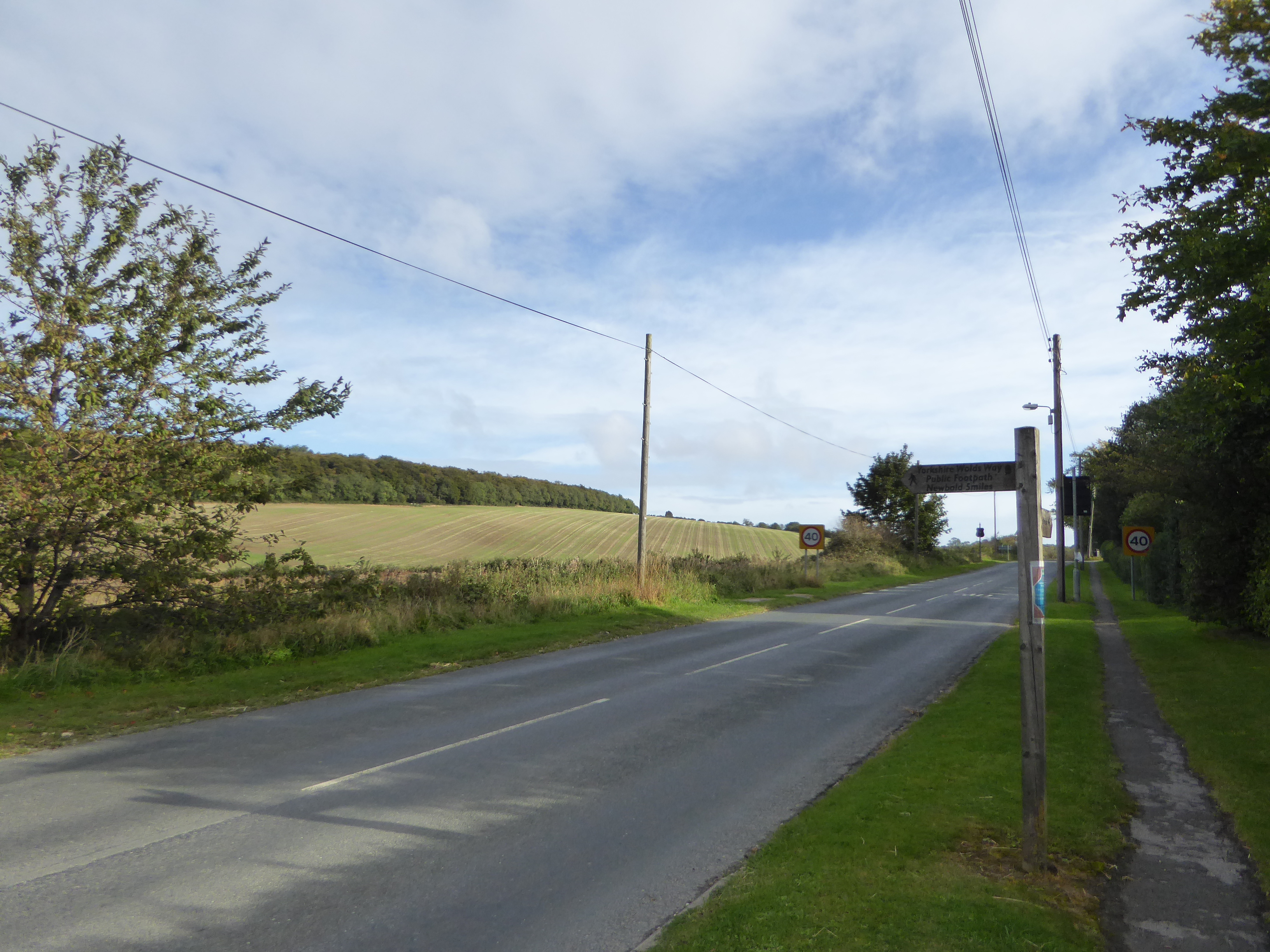
After this, there was a very fast, local connection by bus, back to Reighton to collect our car. It should be said, that Filey is connected with British Rail; for those who would wish to start their way from here, and head towards the start of the Wolds Way, located in Kingston-upon-Hull.
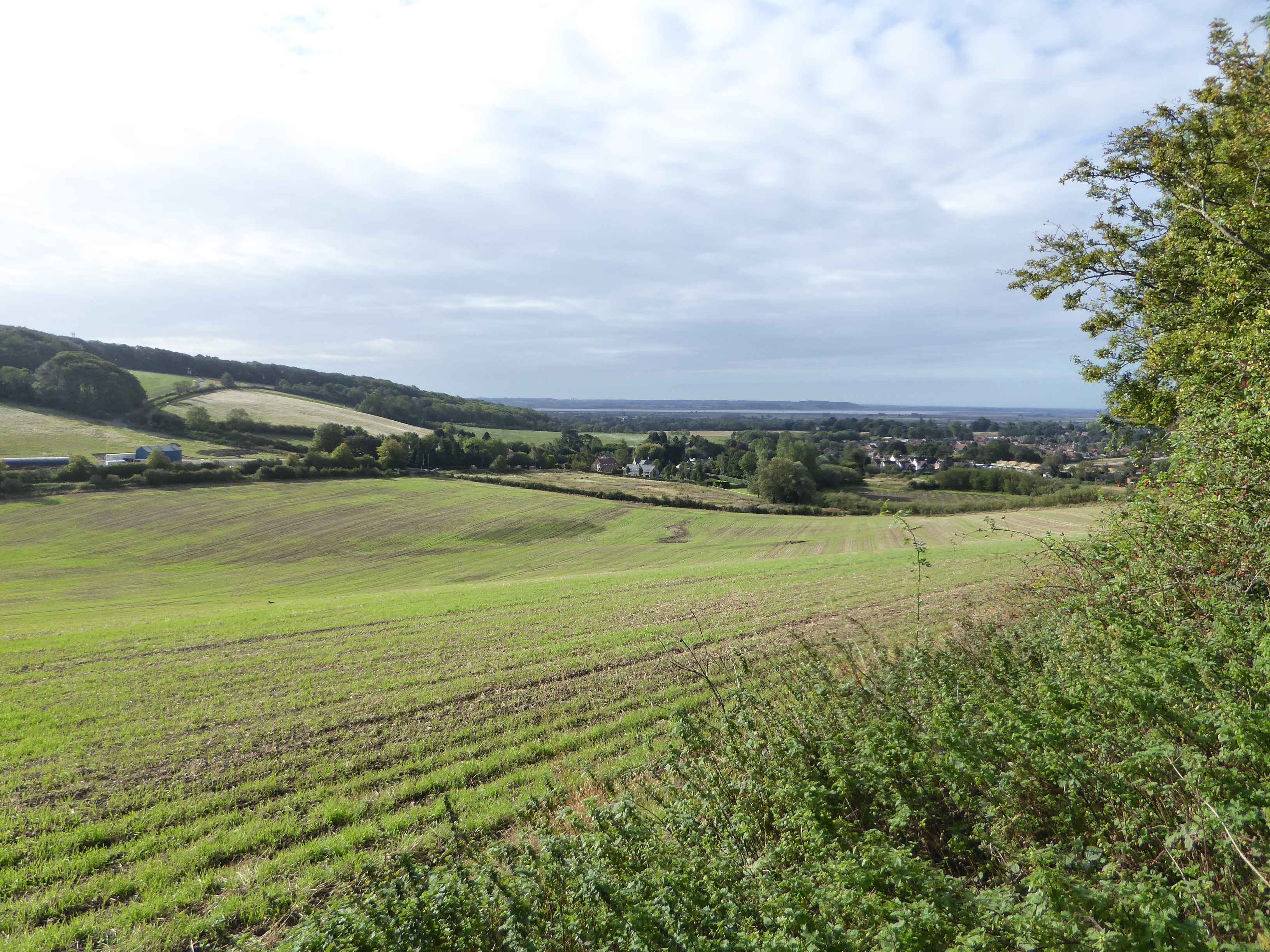
For the final two parts of our trip to Yorkshire, we decided for the third day to start from our base in South Cave, a delightful village’ish, complete with mock castle, golf course and a belter of a pub, the Fox and Coney, on the High Street. Later (and another post), for the final part, we were to start from the end point of the Way, and retreat back into the countryside.
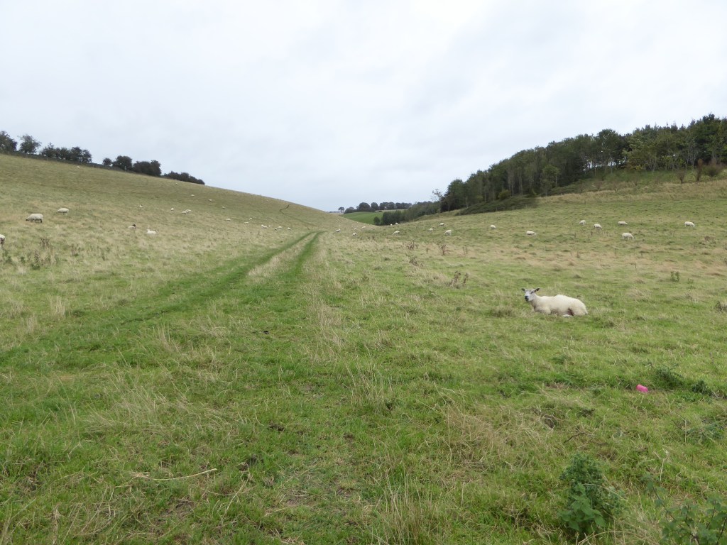
What struck me about this route, was that while I couldn’t readily see any mountains, let alone hills, we were always up and down, up and down, all day!
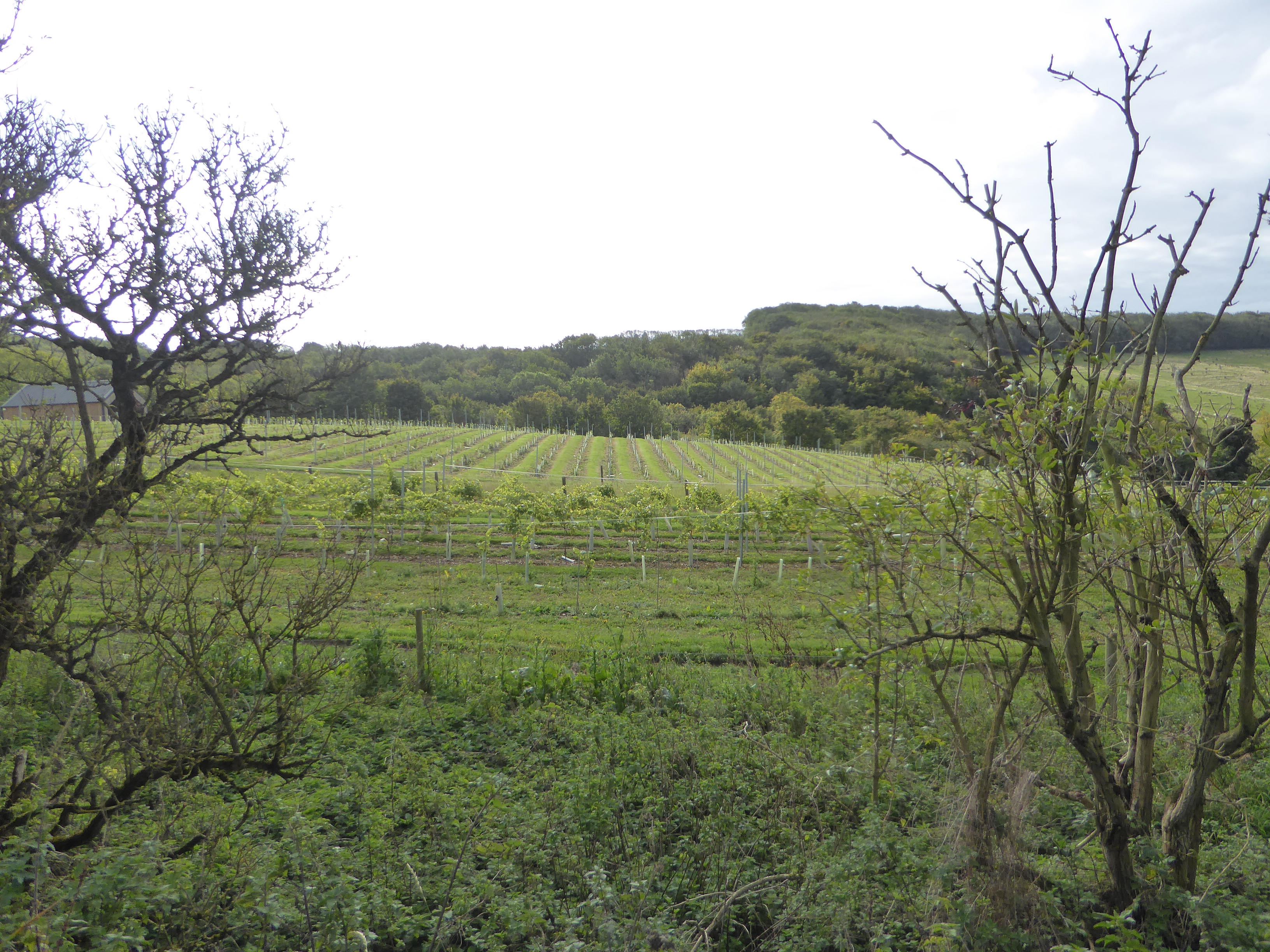
The start strikes into a beautiful small valley, that overlooks a vineyard! Yes, a vineyard in Yorkshire (there are others), the Little Wold Vineyard, which is on my to do later list.
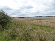
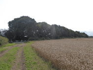
From there, there were many rolling hills, and a lush and cold countryside, but no opportunities for a cuppa or something to eat; the only drawback to the day.
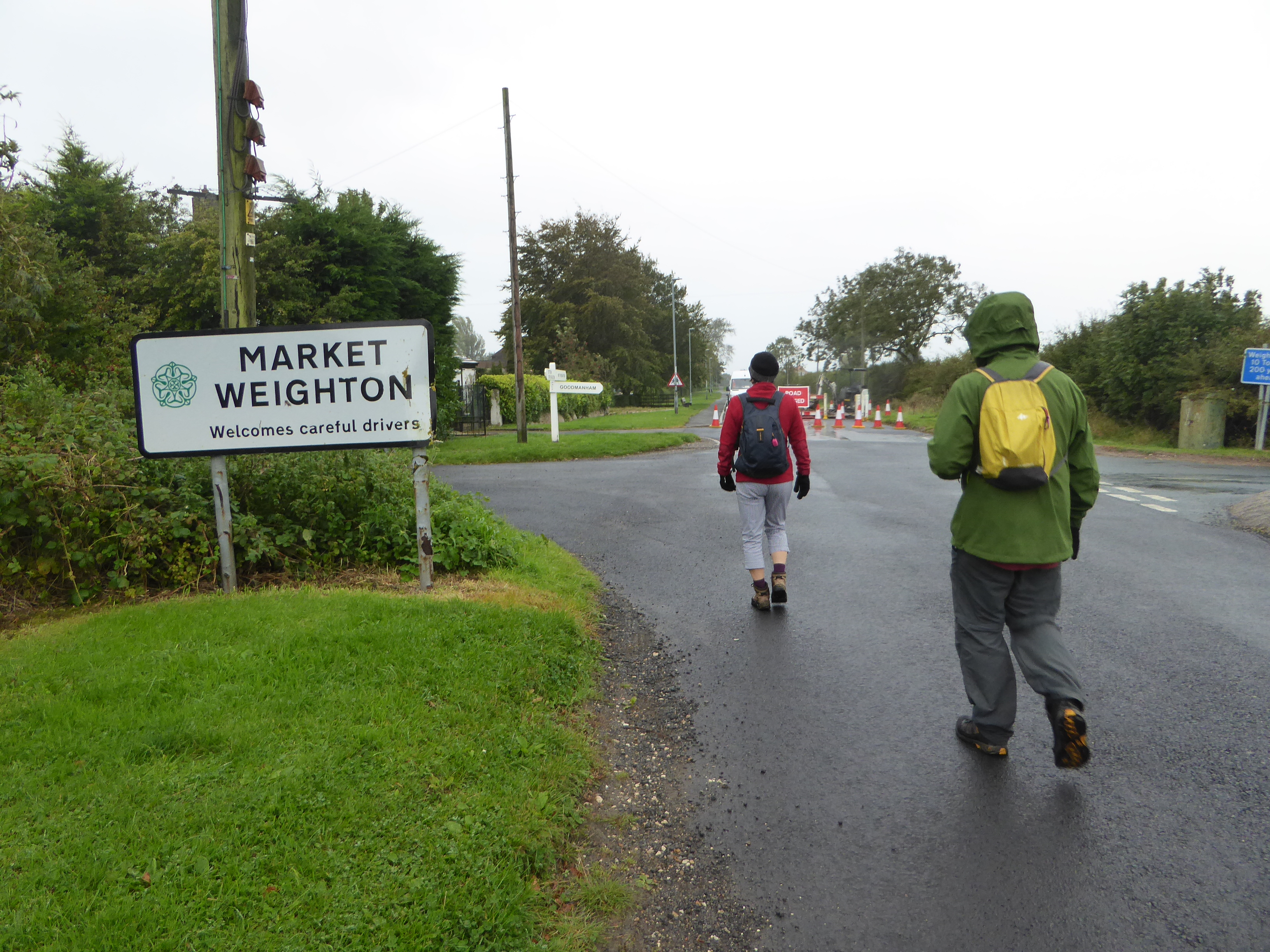
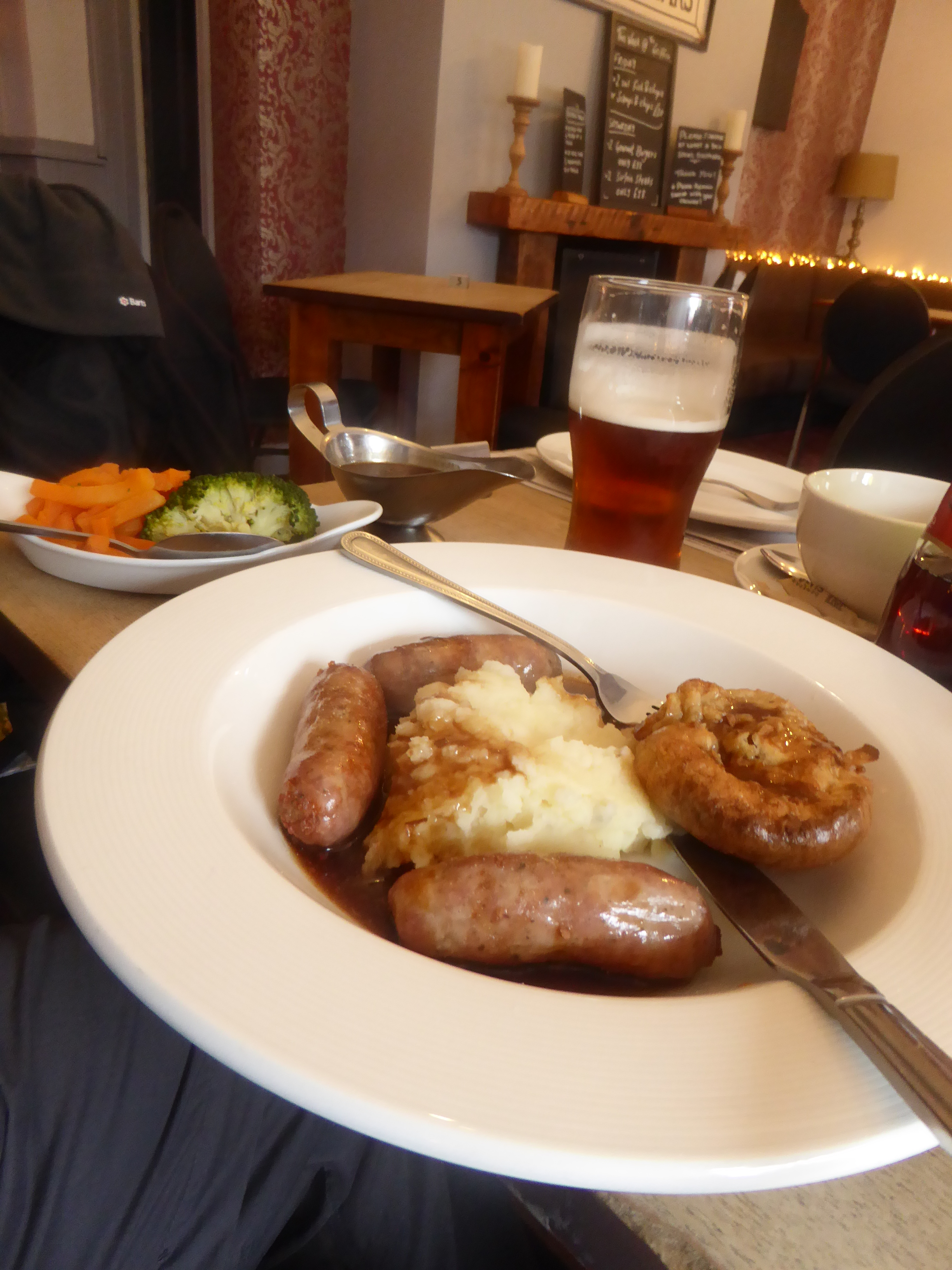
Until we made Market Weighton, and a well-earned late, lunch. For which we were grateful, during these COVID days. The pub in question was The Griffin, a much-needed Thwaites public house.
Interesting that, I’d never heard of this area before we decided to do it due to a recommendation from a fellow traveler. Lucky, we referenced the very excellent, Yorkshire Wolds Way; Tony Gowers and Roger Ratcliffe, 2013, and with their recommendation, sought out this day trip, that can be done, preferably, by car.
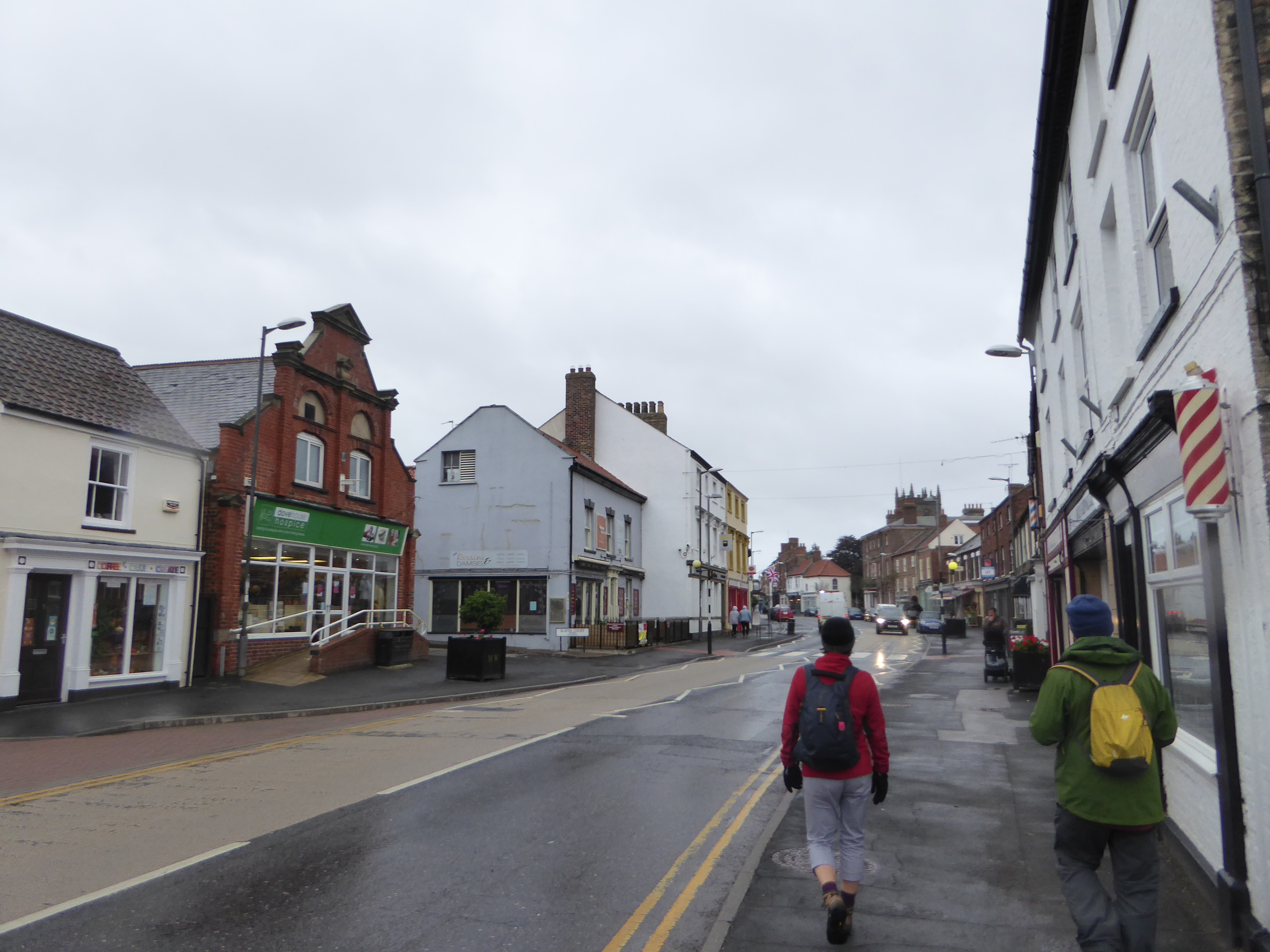
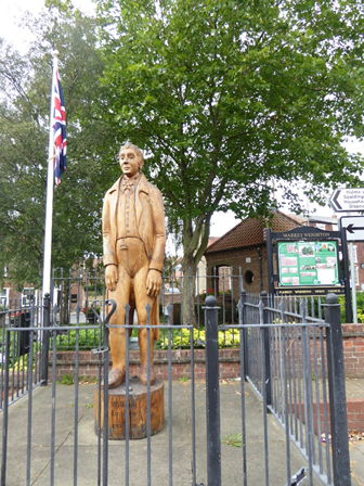
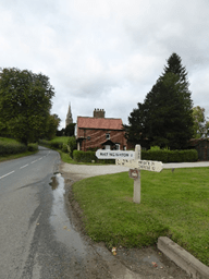
We started from our base in South Cave, and then after a stop for breakfast in Market Weighton, also a good opportunity to have a wander and to see the village of the tallest man ever in the UK, William Bradley. Try the steps in the High Street, where you can compare your shoes with his!
High Street, Market Weighton
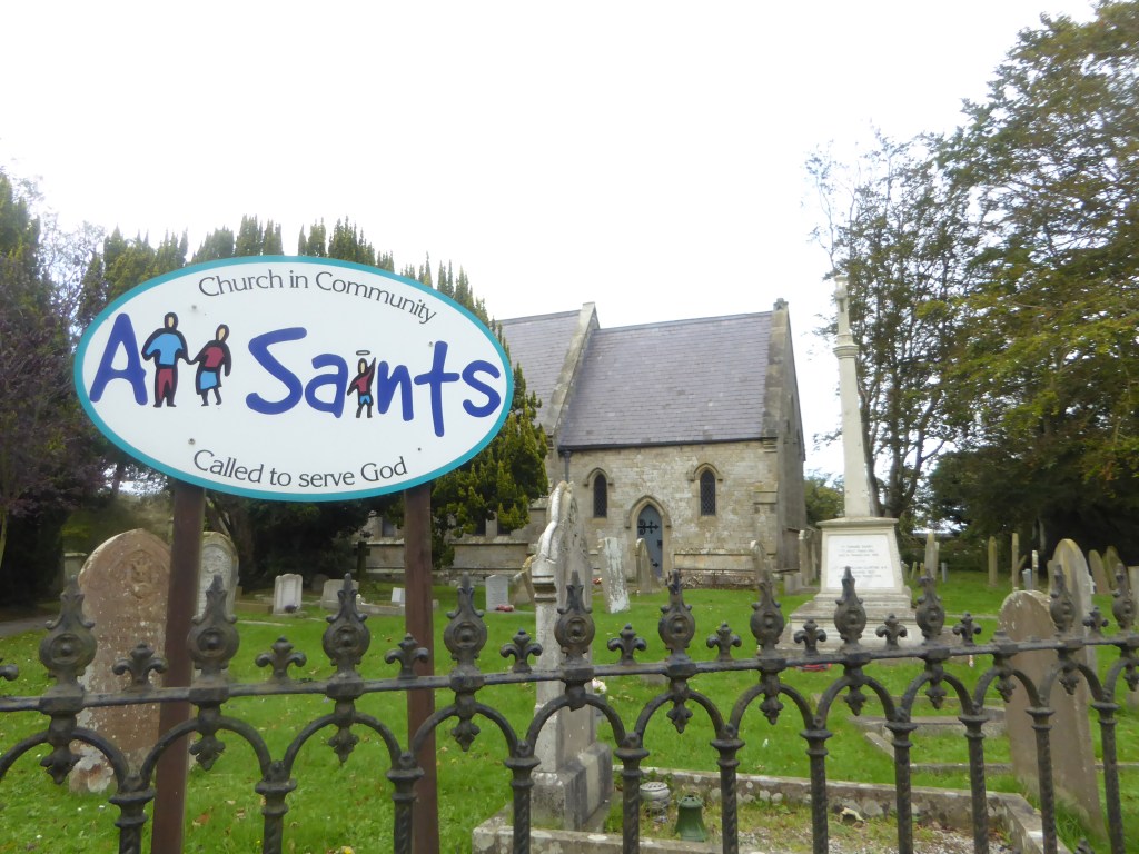
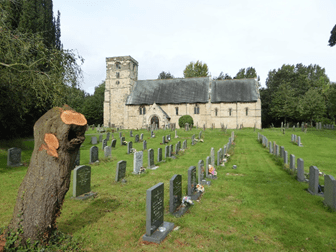
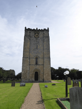
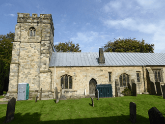
From here, we traveled to Kirkburn, to see St Mary’s.
St Marys, Kirkburn
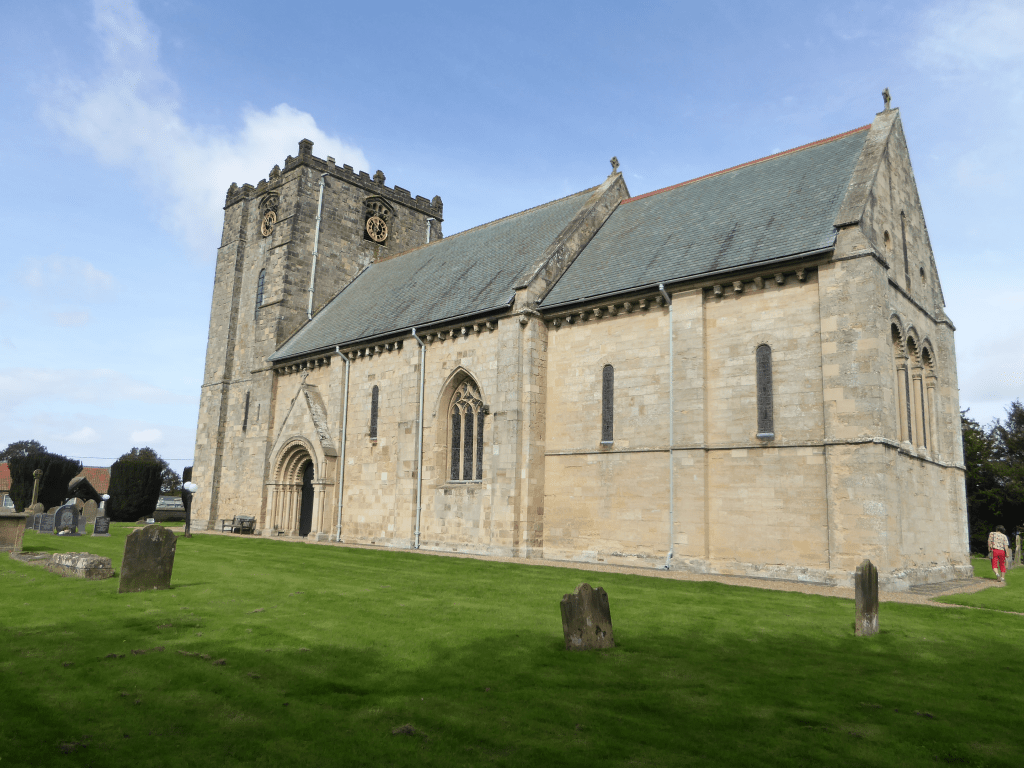
After which, we went to Garten on the Wolds to see St Michael and All Angels, that was a strange mixture between Norman and Gothic styles.
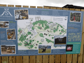
And finally, lo surprises!, when encountering Sledmore House, a delightful (even in the start of the cold season), house, farm and café, where there were numerous people, bicyclists and a farm shop, where we partook of needless shopping.
Earlier in the year, I by chance had the opportunity to watch several documentaries on the Beeb, with both being about, or at least some, the Wolds Way. For me, I had never heard of it before and subsequently, have read that it is the least traveled long-distance way in England.
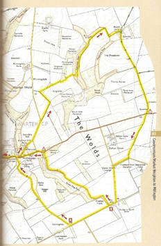
The plan then was to do it, or at least part of it, in more than one trip. For the first part, we did a variant on it via a delightful walk based on the art of David Hockney. The walk started in the glowing village called Warter, and it then was possible to do either part A or B, depending on how you are feeling.
We chose the shorter route B, that happens to pass directly in front of Dalton Gate Cottage, which is the very place where Hockney stayed, when he painted numerously in 2007. One of these paintings, entitled “Bigger Trees near Warter”, is now located at the Tate Modern in London.
Warter village
From Warter, we walked uphill, that gave us splendid views back towards Warter.
Looking back towards Warter
From there, it was to the outer most part at Blanch Farm, before we doubled back and started to return to the village.
Starting to return to Warter
Continuing, we passed over the B1246, and past the Hockney cottage, before we came here to where Bigger Trees was painted,
Near to where Bigger Trees was painted
Before we headed back, via a deep ridge / valley, into Warter.
Ridge on the way back to Warter
The only pity with Warter is that there is no café, and the St James church was closed due to the pandemic. If open, there is an opportunity to sample some of the local history. Warter hence, is really only a place to park (which we did by the local primary school).
The next day, we sampled more in this area, by doing a tour of the renowned church architect Sir Tatten Sykes’ churches, which will be in Part 2 of my review.